
Webinar
Rethinking Precision: How RTK Elevates LiDAR Scanning with Nexys
On-demand Webinar | Free
For decades, Terrestrial Laser Scanners (TLS) have set the benchmark for high-precision 3D data capture in surveying and construction. However, TLS systems are often hindered by lengthy setup requirements, dependence on ground control points, and complex post-processing workflows.
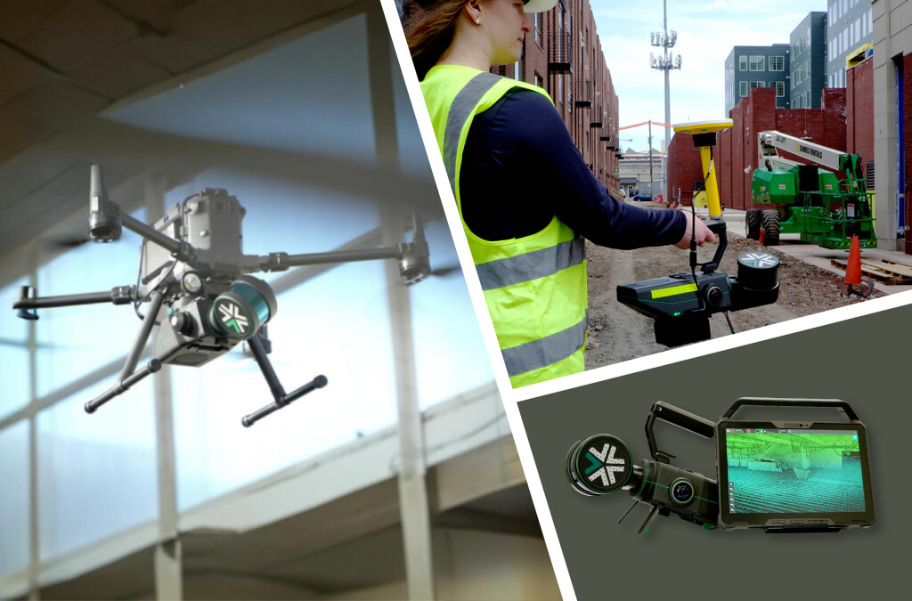
Enter Nexys—a mobile SLAM-based solution designed to deliver survey-grade point clouds faster and with less friction. While SLAM (Simultaneous Localization and Mapping) enables real-time mapping without GPS, the integration of RTK (Real-Time Kinematic) GNSS adds a powerful layer of absolute accuracy and geospatial alignment.
Why RTK Matters in LiDAR Scanning
RTK uses satellite correction data to provide centimeter-level positional accuracy in real time. When paired with LiDAR systems:
- Data can be aligned in real-world coordinates immediately, reducing post-processing time.
- Consistency improves, especially across large or complex sites, supporting better integration with GIS, CAD, and BIM platforms.
Join us to explore:
- Real-world use cases showing speed, accuracy, and ROI improvements
- How to seamlessly integrate Nexys data into your existing GIS and CAD tools
Let’s rethink what’s possible in precision mapping—no GCPs required.
Speaker

James Sui
Product Management Lead, Exyn Technologies