
Webinar
Grounded Perspectives on Drone Lidar
Wednesday, July 22, 2026 | 1:00pm-2:00pm Eastern Time | Free Webinar
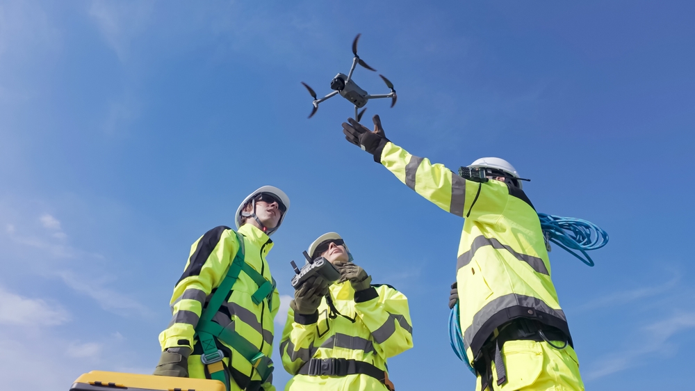
Drone-mounted lidar is well past the proof-of-concept stage, but putting it to work reliably on real survey projects still requires careful decisions at every step. In this panel discussion, experienced practitioners share what they have learned the hard way about sensor selection, flight planning, and delivering data that actually meets project requirements.
Panelists will dig into the tradeoffs that don't always make it into the marketing materials: which sensors hold up across different project types, where workflows tend to break down, and what clients and regulators really need from a drone lidar deliverable. Expect an honest conversation about what works, what doesn't, and where the technology still has room to grow.
Attendees will come away with:
- A clearer framework for evaluating drone lidar sensors against real project requirements
- Practical insight into where flight planning decisions have the biggest impact on data quality
- A better understanding of what survey-grade drone lidar deliverables actually require
- Honest perspective on the common workflow pitfalls and how experienced practitioners work around them
- Guidance on how to talk to clients and stakeholders about drone lidar capabilities and limitations
Who should attend
This webinar is designed for licensed surveyors and geospatial professionals adding UAS lidar to their practice, drone service providers expanding into survey-grade data collection, GIS professionals working with lidar datasets in infrastructure, environmental, or construction contexts, and project managers at engineering and survey firms evaluating drone lidar for specific applications.
Moderator

Carla Lauter
Senior Content Manager, Geo Week News