
Webinar
From Scan to BIM In Minutes: Using Mobile Lidar Mapping for Construction Projects
On-demand Webinar | Free
Mobile scanning is quickly becoming an important element for companies specializing in LiDAR scanning, mapping, and surveying. Mobile LiDAR scanners can be mounted on drones, vehicles, backpacks, boats, poles, cranes, or other machinery. They can also be used for walking scans and enable users to switch quickly and easily between each of the different modes, a capability that is often important in complex environments.
In this webinar, data capture experts from Emesent, Qntfii and Synergy360 will share how they have improved their workflows for their construction and infrastructure projects. They will discuss how versatile data capture technology leads to better outputs, such as detailed BIM models.
Join this webinar to:
- Learn how they are capturing data in tight urban areas with no GPS and no ground control.
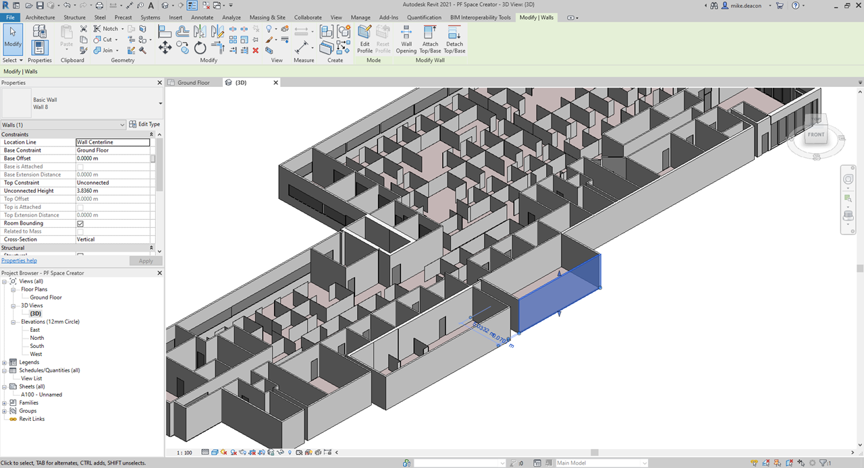
- Understand the “point cloud to BIM” workflow.
- See how they are getting better inputs to their BIM software tools.
- Learn how the versatility of scanning is increasing their ROI.
Speakers

Bill Gutelius
President, Qntfi, Inc.

Michael Russalesi
Chief Operating Officer, Synergy360

Daniel Fuller
Technical Business Development Manager, Emesent
Moderator

Danielle Gagne
Editorial Analyst, Commercial UAV News
