
Webinar
ASPRS's Guidelines for Quantifying Aerial Lidar Density
Wednesday, August 19, 2026 | 1:00pm-2:00pm Eastern Time | Free Webinar
Measurement method matters more than you think.
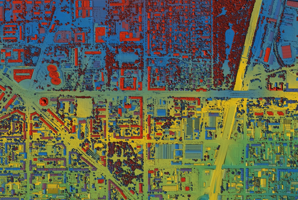
Point density is one of the most fundamental specs in any lidar contract, but the method used to measure it can dramatically change whether your data passes or fails. In 2025, ASPRS adopted its first formal guidelines on quantifying horizontal sampling density of aerial lidar point cloud data, the result of a five-year collaborative effort by more than a dozen subject matter experts from the public, private, and academic sectors.
In this webinar, Matt Bethel, Director of Operations and Technology at Merrick & Company and lead of the ASPRS Lidar Density Working Group, will break down what those guidelines actually say, why common measurement methods are inherently prone to producing vastly different results from the same dataset, and what the recommended approach means for how you plan, collect, and deliver. Matt will be on hand to walk through the guidelines and dig into the details with you, as well as answer your questions.
Who should attend:
- Aerial lidar collectors, QA/QC teams, and anyone who writes or reviews lidar acquisition contracts and delivery specifications
Speaker

Matt Bethel
Director of Operations and Technology, Merrick & Company
Moderator

Carla Lauter
Senior Content Manager, Geo Week News