Webinar
Achieving Survey Grade with SLAM-based LiDAR mapping
On-Demand Webinar | Free

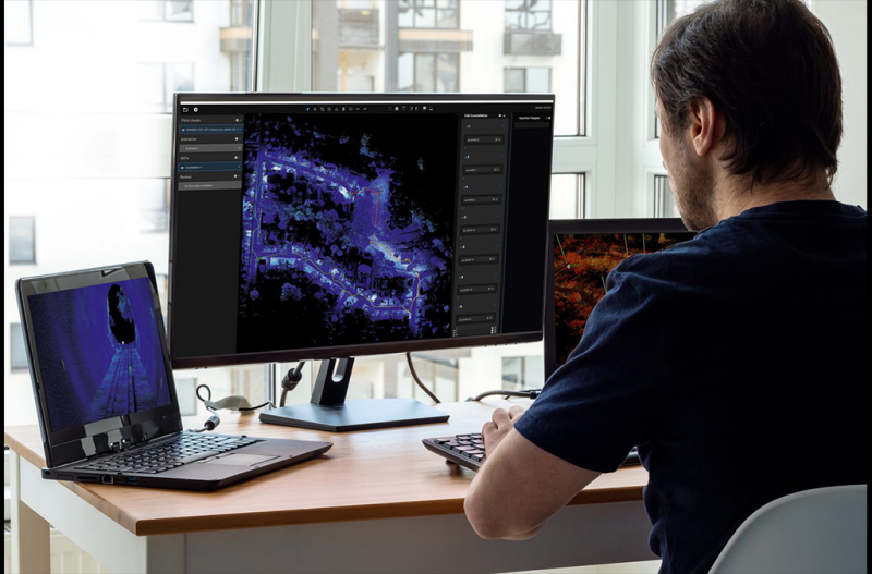
Simultaneous localization and mapping (SLAM) based systems have proved their value for rapid mapping of complex environments, but achieving survey grade accuracy and repeatability has been a challenge in some environments. Surveyors were faced with a compromise between fast data capture and data accuracy, depending on the job requirements. This is no longer the case with Emesent’s Automated Ground Control feature, which enhances the Hovermap SLAM solution to remove SLAM drift and produce survey grade, georeferenced point clouds.
Watch this webinar to hear from Emesent CEO and Co-Founder Dr Stefan Hrabar and Emesent Technical Sales Manager Jordan Herrmann as they share how the new Hovermap ST and the Automated Ground Control feature revolutionize mobile mapping and provide unrivalled SLAM accuracy and workflow efficiencies.
Speaker

Stefan Hrabar PhD, CEO & Co Founder, Emesent

