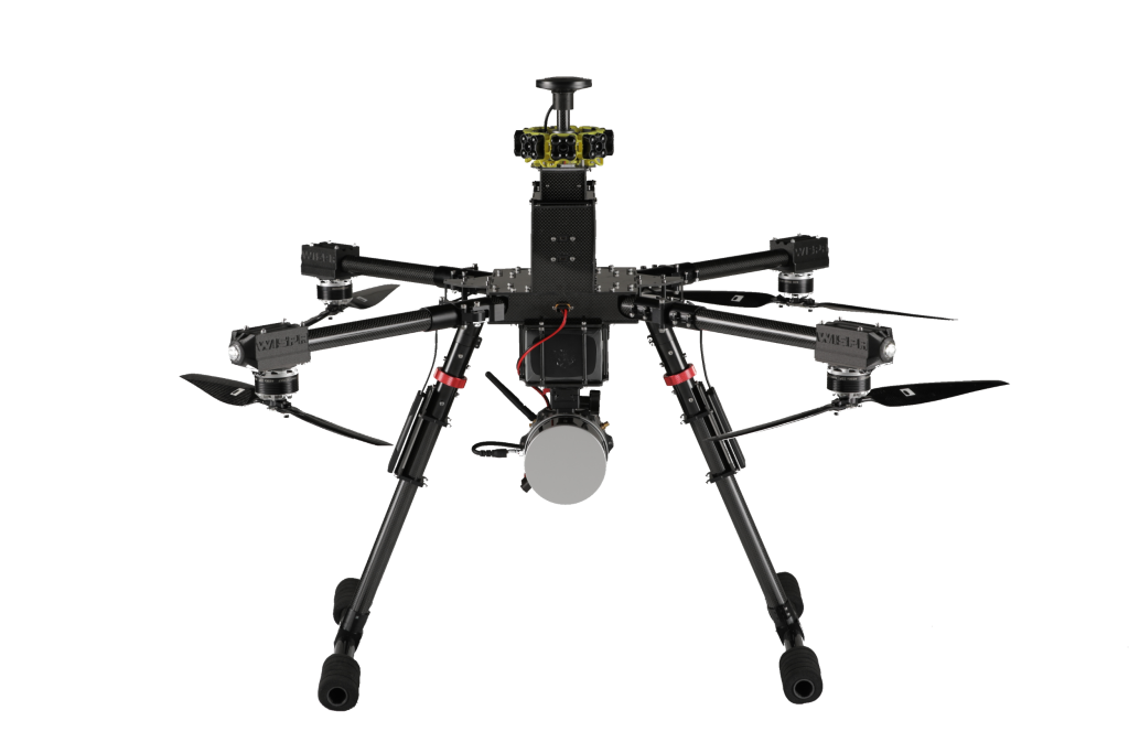
Contributed by WISPR Systems
WISPR Systems recently exhibited their cutting-edge geospatial technology at the annual Geo Week conference. This event is known for bringing together some of the brightest minds in the geospatial industry, and it did not disappoint. WISPR was able to showcase their technology to a high-quality audience of professionals and enthusiasts during the three-day event. The attendees come to the conference with a deep understanding of geospatial technology and a strong interest in staying up to date with the latest innovations in the industry, which leads to immediate high-level conversations on the exhibitor floor.
WISPR Systems was able to attract a lot of attention at the conference with their fully integrated geospatial solution. Customers are increasingly looking for solutions that integrate multiple technologies seamlessly and offer a holistic approach to data collection, processing, and analysis. WISPR Systems' solution checks all these boxes and more, making it a popular choice for many attendees.
Almost every visitor to the WISPR booth was interested in LiDAR to some degree. LiDAR technology has been around for decades, but it's only in recent years that the adoption of this technology has increased significantly. One of the main drivers behind this trend has been the decreasing cost of LiDAR technology. As the cost of LiDAR continues to drop while the sensors continue to improve, more and more industries are finding innovative ways to use this technology to improve their operations.
WISPR has been able to ride this wave of LiDAR adoption by creating an easy to use LiDAR workflow. The engineering team has integrated a dozen or so LiDAR units for customers to choose from based on their use case and budget. Each of these systems has separate characteristics that need to be considered when flying a mission. These characteristics are preprogrammed into WISPR Ground Control to ensure that each mission will be successful. The mission planning process is also very important to a smooth operation. Automated missions, including auto-calibration for the LiDAR unit, take workload and stress off the operator so they can focus on safety and gathering quality data. With its intuitive interface and powerful tools, users can quickly plan and execute missions with precision, ensuring that they get the results they need.
Along with full workflows for PPK processing LiDAR data, WISPR has developed a PPK process for photogrammetry. The increase in accuracy with PPK along with the reduced processing time are huge selling points and attracted a lot of attention on the show floor.
Another major topic was the need to adopt American made drones into fleets. With current geopolitical tensions, this has never been more important. WISPR understands that many fleets have a significant amount of capital invested in equipment and training and don’t know where to turn to for an American made option. The Ranger Pro from WISPR can solve this problem in most cases. Being fully NDAA compliant gives WISPR an edge in the market along with our ability to integrate payloads. The Ranger Pro is likely compatible with any payload under 6 lbs and is not proprietary to a different manufacturer.
To learn more about WISPR systems and their innovative geospatial solutions, please visit their website at www.wisprsystems.com.


