If you're a GIS manager at a city or utility, you probably don't need anyone to explain the CAD submittal problem to you, because you’ve lived it. A project wraps up, the as-built drawings come in, and someone on your team sits down to manually pull the feature data out and enter it into your GIS platform. It takes anywhere from a day to a week depending on project size, and the whole time, you're acutely aware that this data already existed, but you’re stuck moving it from one place to another, by hand, and hoping nothing gets lost or entered wrong in the process.
Open Spatial CEO Colin Hobson has had this conversation with a lot of city and county GIS teams. "You do realize you are literally signing yourself up to recapture stuff that already existed," he told us.
"In effect you are willingly paying for duplicate work. Did you plan for that?"
Two Problems, One Gap
The tricky part is that the CAD-to-GIS handoff problem has two sides, and you can't fix one without addressing the other.
On the asset owner side, the drawings coming in are inconsistent. Different consultants, different layering conventions, different levels of attribute completeness, and no guarantee that any of it maps to your organization's data framework. Sometimes the only way to make data usable is to manually clean, convert, and re-enter it, which is time-intensive and not repeatable at scale.
On the consultant side, the problem looks different but is just as vexing. Different clients want different things in their drawings, and without a defined submission template, even experienced CAD technicians can be left guessing. Many engineering firms lean on a single internal CAD expert to manage this, someone who knows the workflows and quirks of each client's requirements to keep everything running. This becomes a bottleneck or a serious risk when that person (and their knowledge) is no longer available.

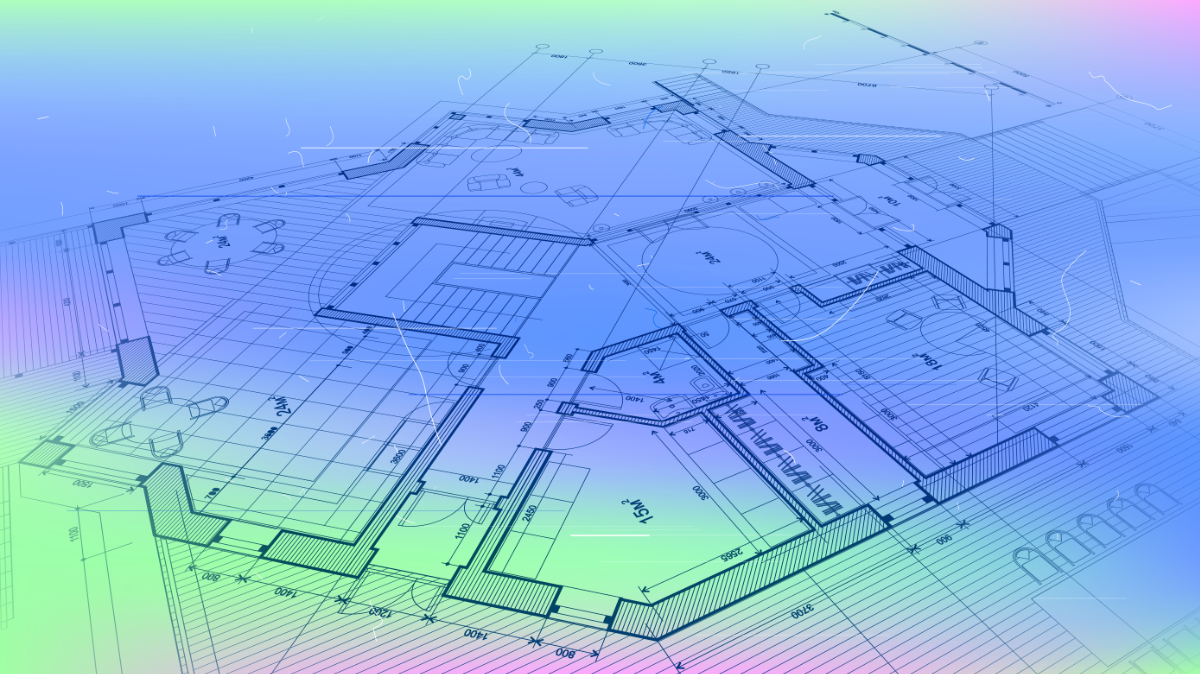
Aside from inconsistencies in drawing layers and presentation, the critical challenge is the attribute data itself for any feature. This is what makes data valuable in the first place. In CAD drawings, attribute data can be captured in many different ways and formats that can look fine on a static PDF, but miss critical details. Interpreting and capturing attribute data contained in a produced drawing presents another layer of challenge. Data can be in a drawing as a mix of text, layer names, attribute data on blocks or on leader lines, embedded data in objects, information in sheetsets.
It can be even more difficult if the names and values are those the consultant used and don’t match those used by the asset owner, and making sure they are refactored can take additional time. Data in drawings can also be incomplete, where some items have attributes and others don’t. This mismatch creates a problem for anyone recapturing the data after accepted submission and may lead to needing even more field verification or clarification from the consultant. All of these inconsistencies take from valuable project time.
Open Spatial brings an unusual depth of background to this problem. The company has been building CAD-integrated GIS tools for more than 25 years, originally for engineering and utility applications where the relationship between CAD data and spatial databases was not a workflow question but an operational necessity. That fundamental understanding of what engineers need from CAD and what GIS systems need from data is what makes their product, As Constructed Design Certification (ACDC), able to bridge between the two worlds.
Essentially, what ACDC does is give both sides a shared system to work from, whether from desktop or cloud. Asset owners configure their GIS data standards inside the platform once. Those standards drive the CAD templates that consultants receive, including dropdowns with domain values that match the organization's GIS schema. When a consultant submits a drawing, ACDC can validate it automatically against those standards and returns a marked-up report showing exactly what needs to be corrected. Effectively, the drawing and associated data is now able to be validated by the consultant before submittal acceptance which ensures data quality, consistency and compliance with the asset owners GIS schema, and requires no manual recapturing of data. The drawing doesn't reach the asset owner for review until it passes. When it does, the GIS data is already structured, attributed, and ready to publish directly into ArcGIS Enterprise or other connected systems, with no manual conversion step.
That self-validation loop is important. Consultants are able to do their own quality control before submission, freeing up the GIS team from the review cycle. By avoiding recapture and other manual steps, mid-sized organizations (running about 20 projects per year) have reported to Open Spatial that they’ve saved on average a half FTE of work annually.
ACDC offers full flexibility, allowing all schema rules, names, and attributes to be customized to meet specific project or organizational needs. In addition to this adaptability, off-the-shelf standards and configurations are also readily available. For example, users can access a complete configuration of data and CAD templates based on the National CAD Standard for North America, as well as fully developed templates and schemas aligned with the Australian ASPEC standard.
But these workflows do something less obvious for the firms themselves - by standardizing an internal workflow in a way that doesn't depend on any single person knowing how to do it, they can eliminate potential bottlenecks and risks of a single point of failure.
What It Looks Like in Practice
The City and County of Broomfield, Colorado is a useful example of where this lands in the real world. Broomfield's GIS team manages infrastructure data across a unified city-county, which means a broad data responsibility and a constant flow of project submittals to process. Before employing ACDC, that process involved multiple manual steps and enough uncertainty about incoming drawing quality that new infrastructure was sometimes re-surveyed rather than relying on the as-built documentation. The drawings existed, but they just couldn't be trusted to move directly into GIS.
After deploying ACDC with direct integration into ArcGIS Enterprise, Broomfield established a standardized CAD submittal workflow that feeds validated, fully-attributed GIS data into their enterprise GIS at project close.
Adrian Kropp, Manager of GIS for the City and County of Broomfield, put it plainly.
“The platform enabled a digital, data-centric workflow as part of plan submittal review and documentation, ensuring accurate and timely data is available at the end of every project.”
The Longer Argument
The operational case for solving the CAD/GIS handoff is a critical one. Having access to automated validation, direct GIS publishing, and a self-correcting submittal process can add up to meaningful staff time recovered on both sides of the workflow.
"By enabling consultants to validate their drawings before submission, we’ve significantly reduced the back-and-forth and improved data quality from the outset. ACDC gives both our team and external submitters the tools to work smarter." - Jane Anderson, GIS Coordinator, MidCoast Council, NSW, Australia
Eliminating bad data and bottlenecks from the handoff has tangible impacts per project, but also on staffing as a whole by eliminating perceived rework, reducing errors from manual processes, and freeing up more time to do more high-value work on the job site or in the field.
For Open Spatial, ACDC is the foundation of something bigger. The company is continuing to expand its platform capabilities, building on the same core philosophy that the data you already captured should only have to be captured once, and it should work everywhere you need it to.
Going Deeper
As Open Spatial's ACDC continues to advance interoperability and accessibility across the geospatial ecosystem, understanding its real-world applications is becoming increasingly important.
Join the upcoming webinar:
Using the ACDC Portal for a Full Digital Workflow of As Constructed Drawing Data – From CAD to GIS Online
Wednesday, June 24 at 10AM PT / 1PM ET
Register Now