June 25, 2020
Report
Ultimate Handbook for evaluating the accuracy of NavVis VLX

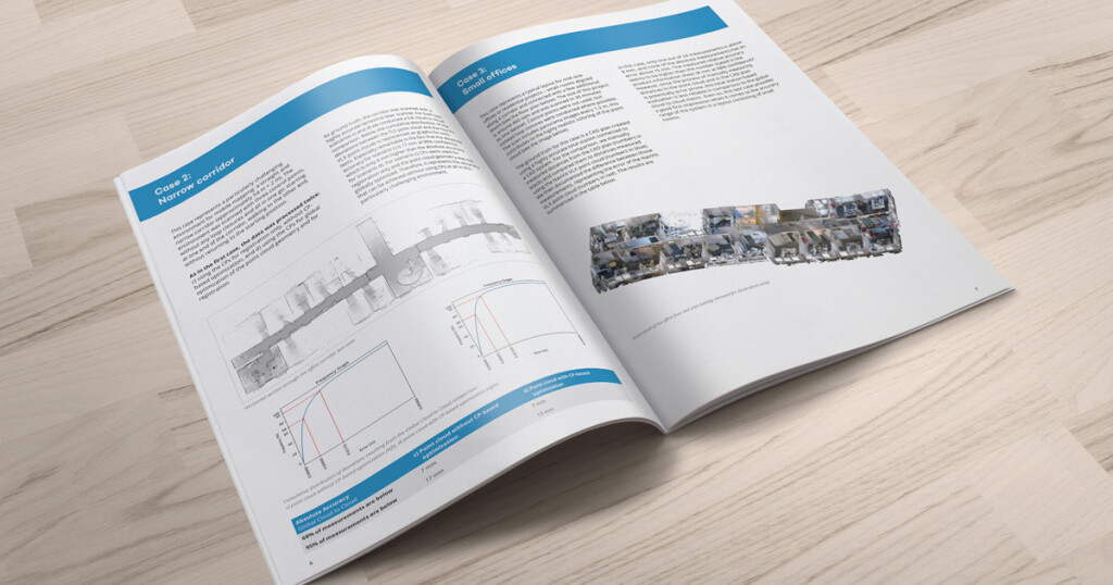
Evaluating the accuracy of a wearable mapping system An insightful resource for laser scanning professionals who rely on high quality data from static scanners and would like to achieve the same results from faster, more efficient mobile systems. Included is a thoroughly benchmarked assessment of NavVis VLX wearable mapping system, so you can make an informed decision about deploying the correct mobile mapping system for fast, scalable data capture. Here's what's inside:
- Benchmarks - Two industry-standard devices for accuracy used to benchmark mobile scanning devices: a total station and a terrestrial laser scanner (TLS)
- Metrics - Reference data includes local point to point (total station), global point to point (total station) and global cloud to cloud (TLS)
- Three case studies - Based on the established accuracy benchmarks, NavVis VLX is put to the test in three typical environments for mobile mapping systems: a parking garage, narrow corridor and small offices

