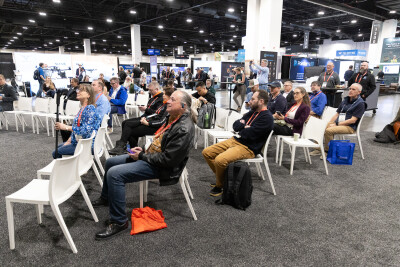
October 13, 2015 — Teledyne Optech is pleased to announce it will present the world’s most advanced airborne lidar solutions at the OCEANS ’15 conference in Washington, DC on October 19-22. Visitors will hear details of the CZMIL Project Program and a paper presentation by Research Engineer Vinod Ramnath on the capabilities of the Optech CZMIL Nova titled “CZMIL (Coastal Zone Mapping and Imaging Lidar) Bathymetric Performance in Diverse Littoral Zones.”
Mr. Ramnath will begin with a quick explanation of the major applications of airborne lidar for bathymetric mapping, such as nautical charts, environmental mapping, and hazard detection. He will then go through the technical specifications of the CZMIL Nova to explain how each one improves its detection abilities, resulting in unmatched depth penetration, high spatial resolution, and accurate depth measurements. Finally, Mr. Ramnath will discuss CZMIL’s bathymetric performance in a wide spectrum of water conditions, from the clear waters off Hawaii and Florida to the turbid conditions of rivers and lakes in the continental U.S. This presentation will take place during the 4.X.1 Remote Sensing 1 session from 10:30 am to 12:00 pm on Thursday, October 22 in the Magnolia Room.
Surveyors interested in getting the CZMIL Nova to work for them while protecting their bottom line can head to booth 425 for details about the CZMIL Project Program. Several government agencies have already purchased systems outright, but now Teledyne Optech has opened up the CZMIL Nova to the wider market by renting it out for short- and medium-term projects through the Program. Now even smaller projects can benefit from the world’s most advanced airborne lidar bathymetry system.
Surveyors can also consider the multispectral Optech Titan airborne lidar for their needs. Equipped with both a green channel for shallow-water bathymetry and two infrared channels for high-density topography, the Titan lets surveyors get into the bathymetry market while maintaining their capabilities in the terrestrial market. The Titan’s three channels also generate multispectral data of terrestrial targets, making the Titan a unique tool for tree identification, land classification, and environmental modeling.
Find out more at booth 425 or at www.teledyneoptech.com.


