
May 19, 2015 — Teledyne Optech is pleased to announce that it will showcase the efficiency gains leading to cost savings plus the new business opportunities possible with its latest lidar technology at GEO Business 2015 in London, England, from May 27 to 28. Attendees can find Teledyne Optech at the show in Stand M10. For attendees who wish to learn how to dramatically increase “big data” processing efficiency in a single workflow for both airborne and mobile surveying, Teledyne Optech will be conducting a complimentary workshop on Thursday, May 28, in Room H.
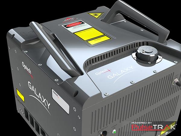
As part of its advanced PulseTRAK™ sensor innovations, the Optech Galaxy airborne lidar is delivering revolutionary efficiency improvements with its unique SwathTRAK™ technology, which reduces the number of flightlines required to cover rugged terrain by eliminating data gaps and maintaining point density even during sudden elevation changes. The Optech Titan is also opening new business opportunities, letting companies handle topography and shallow water bathymetry with a single instrument while enabling active 3D land classification with its three multispectral laser channels.
The Optech Lynx Mobile Mapper™ is a powerful mobile lidar/camera system that provides dense and precise 3D data even from vehicles moving at highway speeds. Transportation professionals interested in wide-scale mapping projects can check out the cost-efficient Lynx MG1 model, while those who need precise survey-grade data without reducing collection efficiency will find that the industry-leading Lynx SG1 model is the ideal solution. The new LMS 3.0 software workflow provides efficiencies in inertial drift control and accuracy validation, delivering survey-grade lidar and camera data with the ease of automation and better cost effectiveness than ever before.
The Optech ILRIS UAV solution provides an innovative and agile solution for surveying by deploying the ILRIS terrestrial laser scanner with a photogrammetry UAV, resulting in rich and comprehensive data in a very short timeframe. Finally, attendees can check out the specifications of the latest version of the Optech Cavity Monitoring System (CMS), the V500, which packs long-awaited features like an internal camera and battery into a smaller package than ever before.
Find out more at www.teledyneoptech.com.
About Teledyne Optech
Teledyne Optech is the world leader in high-accuracy lidar 3D survey systems, integrated cameras, and productivity-enhancing workflows. With operations and staff worldwide, Teledyne Optech offers both standalone and fully integrated lidar and camera solutions for airborne mapping, airborne lidar bathymetry, mobile mapping, terrestrial laser scanning, mine cavity monitoring, and industrial process control, as well as space-proven sensors. Teledyne Optech systems are also fully warrantied, with extended warranty packages offered by Optech Technical Solutions. Accuracy and productivity matter!


