
October 29, 2014 — Optech is pleased to announce that it is sponsoring the Esri Eastern Africa User Conference to be held in Mombasa, Kenya, on November 5-7, 2014, which focuses on the role of geospatial technology for supporting infrastructure and development plans in Eastern Africa.
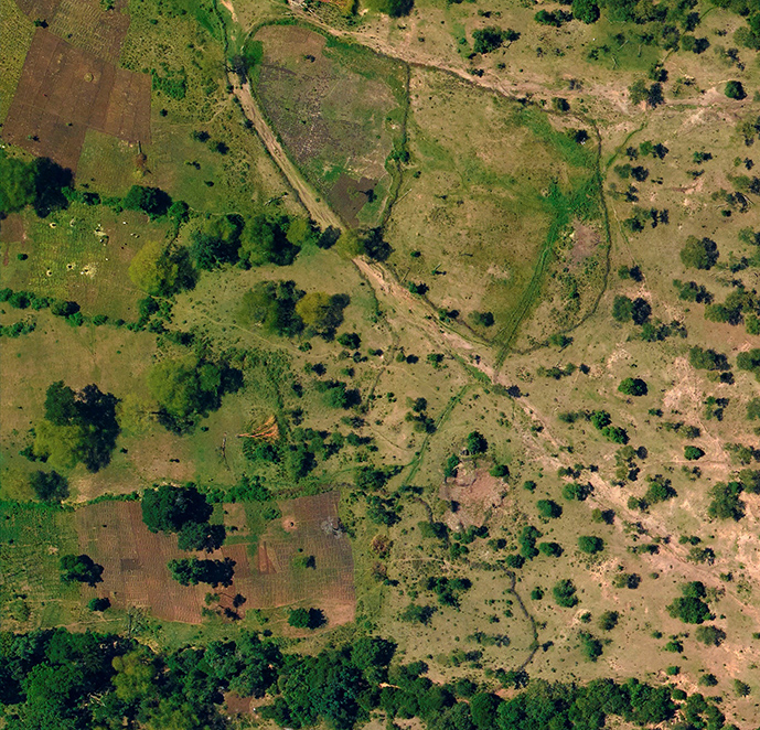
At the conference, the Kenyan Department of Resource Surveys and Remote Sensing (DRSRS) will report on their success using Optech CS-Series aerial cameras for airborne mapping and discuss their plans to monitor mining activity and its environmental impacts. Optech’s solution for these applications includes CS-10000 (RGB), CS-4800 (NIR) and CS-LW640 (thermal) cameras, all integrated in the same gyro-stabilized mount and controlled by the same Optech Flight Management Suite (FMS), enabling the DRSRS to collect high-resolution multi-wavelength imagery efficiently and easily. The DRSRS will describe their recent project with this system in the Magadi region of Kenya and their ongoing work in Mombasa and Kwale County.
Surveyors looking to strengthen the quality of GIS platforms in Eastern Africa with highly accurate and up-to-date datasets can head to the Optech booth, where staff will be available to answer questions about the latest airborne lidar and camera mapping systems. This includes details on the new ALTM Galaxy airborne lidar solution, which is revolutionizing operational efficiency and data quality with its advanced scanner, game-changing PulseTRAK™ technology, and blazing-fast 550-kHz pulse repetition frequency. Visitors will also learn about ALTM Orion C, a Class 1 lidar sensor that is packaged with fore/aft oblique and nadir metric cameras, a carbon fiber sensor sled, helicopter pod and fully integrated flight management system to enable a complete corridor mapping solution from a single manufacturer. Finally, for those that seek high density at high altitude, ALTM Pegasus continues to be the most productive sensor on the market with a dual-beam design.
On the ground, Optech will focus on the highly efficient Lynx Mobile Mapper™ and how its proven consistency in obtaining impressive results for managing assets like roads, railways, and powerlines can be applied successfully in the African market. Lynx has received exciting enhancements to its deliverables and workflow from the latest version of LMS as well, such as enhanced inertial drift control and accuracy validation to reduce the cost of mobile surveys in adverse GPS conditions.
Regional decision-makers and mapping service providers looking for the best technology solutions to satisfy the demanding 3D surveying requirements of regional initiatives can visit Optech at booth #7.
About Optech
Optech is the world leader in high-accuracy lidar 3D survey systems, integrated cameras, and productivity-enhancing workflows. With operations and staff worldwide, Optech offers both standalone and fully integrated lidar and camera solutions in airborne mapping, airborne lidar bathymetry, mobile mapping, terrestrial laser scanning, mine cavity monitoring, and industrial process control, as well as space-proven sensors. Accuracy and productivity matter!


