On Friday, September 26, more than 120 experts convened on the Sanjo Conference Hall at The University of Tokyo for the 3D Laser-Scanning and Imaging Symposium, 2014. This co-venture between SPAR and a number of academic societies in the country was the first of its kind for Japan. It was also a great success, indicating a strong future for 3D laser scanning and imaging technologies in the region. Sessions were held in both Japanese and English.
Highlights included a keynote delivered by Carnegie Mellon University professor Burcu Akinci. Akinci spoke on his research to integrate data captured from construction projects into models to provide “an information-rich history of a project and a facility to support decision-making during construction planning and execution, and facility management.”
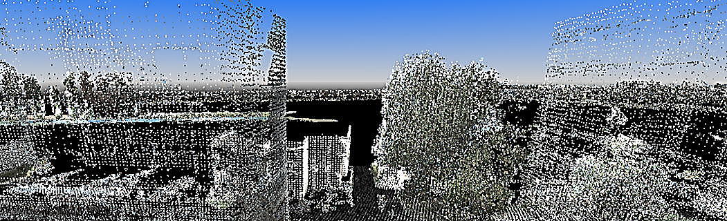
 Many presentations focused on the development of cutting-edge ways to process LiDAR data. Professor Masafumi Nakagawa of the Shibaura Institute of Technology, for instance, spoke on the new methodology he developed for improving region-based point clustering during the modeling process. This new method helps to better identify features within collected point clouds. According to professor Nakagawa, it “can achieve point cloud clustering to extract arbitrary features from complex environments, including flat surfaces, slopes and steps for 3D mapping.”
Another highlight was a presentation from Professor Kiichirio Ishikawa of the Nippon Institute of Technology, who focused on two new recognition methods he had developed. The first was a method of recognizing pole-like objects in mobile-mapping data using machine learning processes, and the second was a method of recognizing aerial cables in mobile-mapping data.
In addition, Dr. Nobuo Kochi from Topcon presented on processes for the reconstruction of 3D point clouds from images taken by micro UAVs.
Other topics included:
- “Modeling of As-Built Concrete Structures with Degradation Using Point Cloud Data and Total Station with a Special Reticle,” by Professor Nobuyoshi Yabuki of Osaka University.
- “Registration of Point Clouds of Large-Scale Environments using Point Projection Images,” by Professor Hiroaki Date of Hokkaido University.
- “Shape Reconstruction of Man-Made Objects Based on Laser Scanning of Large-Scale Environment” by Professor Hiroshi Masuda of the University of Electro-Communications.
Following the great success of this year’s event, organizers plan to hold the event again next year.