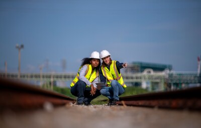
Acute3D is happy to announce its partnership with Techni Drone, a French company training people to become UAS remote pilots (180 people in 2014). With this partnership, the objective fixed by Techni Drone and Acute3D is to meet the needs of those in professional markets who require an accurate 3D model for inspection applications.
To reach this goal, Acute3D and TECHNI DRONE want to raise awareness among UAS operators about the importance of a good imagery acquisition. Thus, a new training program will be offered from December by TECHNI DRONE. Courses will focus on photo acquisition and automatic 3D mapping from photos.
Smart3DCapture Advanced, the automatic 3D mapping software developed by Acute3D and dedicated to UAS operators for inspection, survey, etc. is put at the disposal of the trainees for the automatic 3D mapping portion.
Thanks to this new program, TECHNI DRONE’s trainees will be now qualified in photogrammetry as well as UAS piloting.
About TECHNI DRONE
TECHNI DRONE is the leader for professional UAV pilot training in France. More than 180 pilots will be trained in 2014. Thanks to 15 years’ experience in aeronautics training, TECHNI DRONE has built up the most recognized UAV training center in France.
Its knowledge of UAVs and field experience allow it to propose air services to companies that need aerial footage for artistic or technical purposes. TECHNI DRONE is building an environment of partners to offer its clients complete services from footage to image reconstruction and editing.
TECHNI DRONE is also developing a network of local franchisees to get closer to its clients in order to serve them in a minimum of time.
For more information: www.techni-drone.com
About Acute3D Company
Acute3D develops and sells Smart3DCapture, a software solution allowing to produce high resolution 3D models from simple photographs, without any human intervention.
The principle of Smart3DCapture is to analyze several photographs of a static subject, taken from different viewpoints, and to automatically detect pixels corresponding to a same physical point. From many such correspondences, relative orientations of photos and accurate 3D shape of the scene can be inferred.
Smart3DCapture solves this problem with cutting edge photogrammetry, computer vision and computational geometry algorithms fulfilling industrial-quality requirements in terms of precision, scalability, efficiency, usage, robustness and interoperability.
About Smart3DCapture
Smart3DCapture Advanced allows the production of high resolution 3D models as well as the generation of digital surface models (DSM) and true orthophotos from imagery datasets as big as 10 gigapixels. It is most suited for, but not limited to, UAS/UAV/drone operators.
Smart3DCapture Expert pushes the limits of the Advanced edition with an extension to 30 gigapixels per input imagery dataset, and a batch processing ability through a job queue. It is the perfect solution for demanding scanning and surveying projects.
Smart3Capture Ultimate is dedicated to larger-scale 3D surveying and mapping. It can handle an unlimited number of photographs without any limitation in size, and allows computations to be parallelized on a cluster of 3D reconstruction engines.
Contact
Acute3D
WTC2, 120 route des Macarons
06560 Valbonne Sophia Antipolis
France
Email : [email protected]
www.acute3D.com