

February 16-18, 2026 | Colorado Convention Center | Denver, CO, USA **Early Bird Pricing Ends 1/16**Join Us at Geo Week 2026!
Combining lidar sources for maximum value
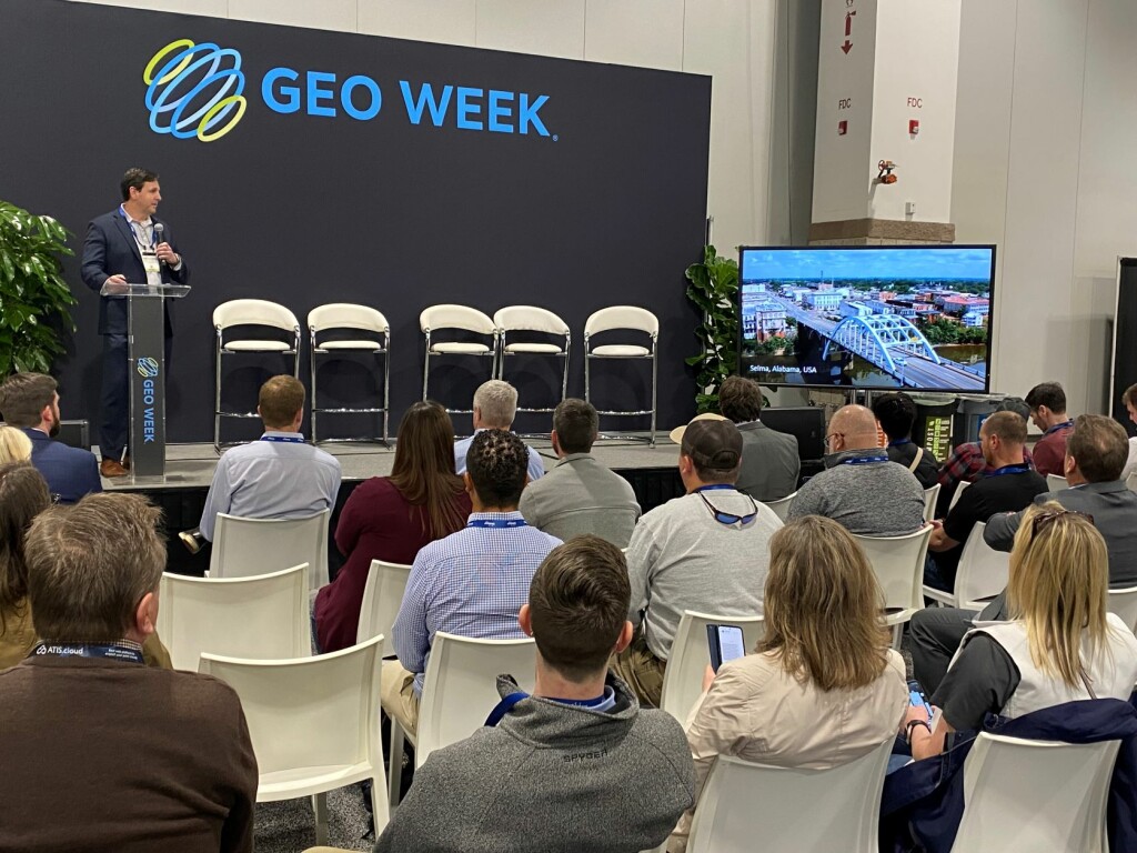
The first of six presentations came from Carlos Femmer of HDR Engineering, Inc. For this project, Femmer and his team focused on a historical location in the United States, the Edmund Pettis Bridge in Selma, Alabama. This is where Martin Luther King Jr. led a group of 2,000 marchers to Montgomery in a protest. The National Park Services purchased three buildings and a courtyard near that site and hired HDR to provide updated floor plans and as-is conditions of the area. Given the deteriorating nature of these buildings and their roofs, Femmer and his team utilized a number of different types of lidar scanning, including terrestrial and UAV scans. Ultimately, they were able to combine all of this data and implement artificial intelligence and machine learning tools to detect things like cracks and spalls, allowing for a more focused inspection in follow-up efforts.
Scanning a complex church spire
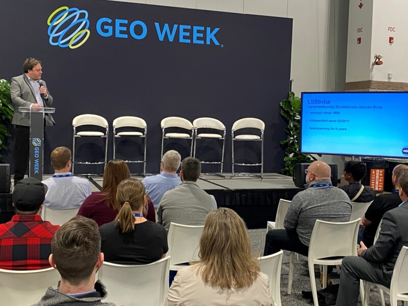
In Belgium when renovating historical buildings, a project can be subsidized by the government, but only when it comes with full, detailed plans. This came into play for the renovation of a The Sint-Jan-De Doperkerk Church, who retained LSBbvba to perform 3D scans of the interior and exterior of the historical church spire. Lieven Beuckx was on hand to discuss this project, which brought with it some complications. For the exterior, as one might expect, he and his team utilized drone scanning, but the interior proved more difficult given a narrow and steep staircase. This made using a tripod scanner extremely difficult, so the team instead turned to a RIEGL V7-400i on a tilted mount. With this methodology, they were able to position the scanner in such a way that the entire interior was able to be captured accurately.
Identifying century’s-old landscape features
In one of two presentations focusing on surveys of lands in the U.S. South, Brad Barker of Surdex Corporation detailed a project he and his team took on to identify landscape features at Monticello from the Thomas Jefferson era. This was a challenging proposition as the area has changed significantly in that multiple-century time period due to factors like landscape changes in part due to shifts in agriculture, erosion, and cultural changes with the area becoming a tourist attraction today. Using aerial lidar methodology while referencing historical documents relating to the property, the team was able to identify some interesting features from the Monticello estate, including what were known as quarter farms, with the estate split into four equal parts. Those divisions were able to be picked up in the lidar data, as well as other assets like roads and orchid farms.
Researching the South Carolina Low Country
In a similar project looking at a historical site in the U.S. South, Jonathan Byham of GPI Geospatial, Inc., highlighted his team’s work in the South Carolina Low Country. Specifically, they were focused on Drayton Hall, the only plantation left in the area. This a significant area which was used to cultivate rice and indigo, as well as mine phosphate, with a large population of slaves, many of whom stayed in the area to mine phosphate after being freed. The Drayton Hall Preservation Trust worked with GPI to get a better understanding of how this land was used. In order to complete the project, Byham and his team combined high density aerial lidar with photogrammetric feature extraction and ultimately revealed evidence of things like foot trails and building pads, phosphate mining scars, African American cemeteries, and other unique natural and man-made features. With the usage of this data, we now have a much better understanding of the history of the area and its natural resources.
Trying to save the Monarchs
Monarch butterflies, that is. As Mischa Hey of NV5 Geospatial explained in his presentation, wintering Monarch butterflies look for areas which receive plenty of sunlight while also being sheltered from the wind. Typically, they travel to forest groves in California to meet those conditions. However, climate change is shifting these conditions out of the Monarchs’ favor, putting much of their population in danger. To address this issue, the team wanted to collect detailed maps of the area, but this was easier said than done in these groves, which are hard to access. Ultimately, they turned to aerial lidar to create 3D maps of the area through the canopy, and adjusted their models to track conditions not on the ground, but where the butterflies live. With this data in hand, efforts to restore this habitat for Monarch butterflies can be much more focused and informed.
Keeping visitors safe in caves
The Buchan Caves are a tourist attraction in Australia, with some of the most impressive limestone formations in the world. However, some parts of the cave are starting to deteriorate and are at risk for collapse. The caves themselves, as Aaron Gonclaves of Maptek explained, were formed by the accumulation of what are known as cave breakdown events. Many of these factors are still active, which could pose a threat to visitors of the area. Maptek utilized underground terrestrial laser scanning as well as drone photogrammetry above the surface to capture the spatial relationship between the cave system and the ground surface. The detailed models allow for continued monitoring of settlement and deformation in the caves, allowing local entities to better manage the safety of visitors on site.


