
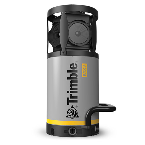
At ILMF 2016, Trimble was on hand showing their MX7 Mobile Mapping Imaging solution, which captures 360-degree video and offers positioning with its integrated GNSS and IMU. Trimble is marketing the system as a cost-effective way to map and manage assets including bridges, buildings, roads, highways, power stations, and, in one case, even rose bushes.
As Product Marketing Manager Eric McCuaig explained to me, the system is intended to be easy enough and affordable enough to bring mobile mapping within anyone’s reach.


