
Sensor integration is the order of the day.
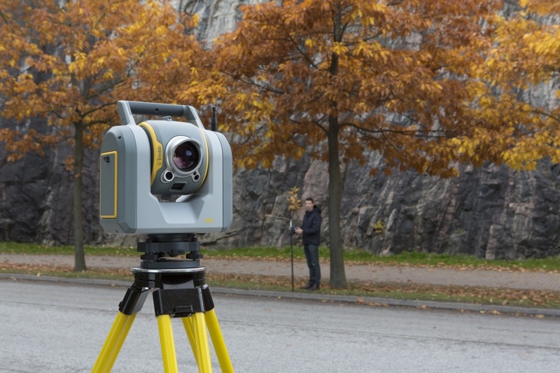
Trimble’s latest product is the SX10, a total station that places a laser scanner inside the total station’s telescope. This combination enables surveyors to capture 3D data organically, without adding any steps to their workflows. What’s more, since it uses existing Trimble processing software, there’s little training required.
That 3D data gives surveyors extra context for their measurements, and saves themselves extra trips to the field. The SX10 uses its clever integration to give these surveyors an easy way into lidar scanning.
To find out more about the SX10, and how the market has responded since its release, I caught up with Gregory Lepere, market manager for optical and scanning at Trimble. Here’s our interview from the floor of ILMF 2017:


