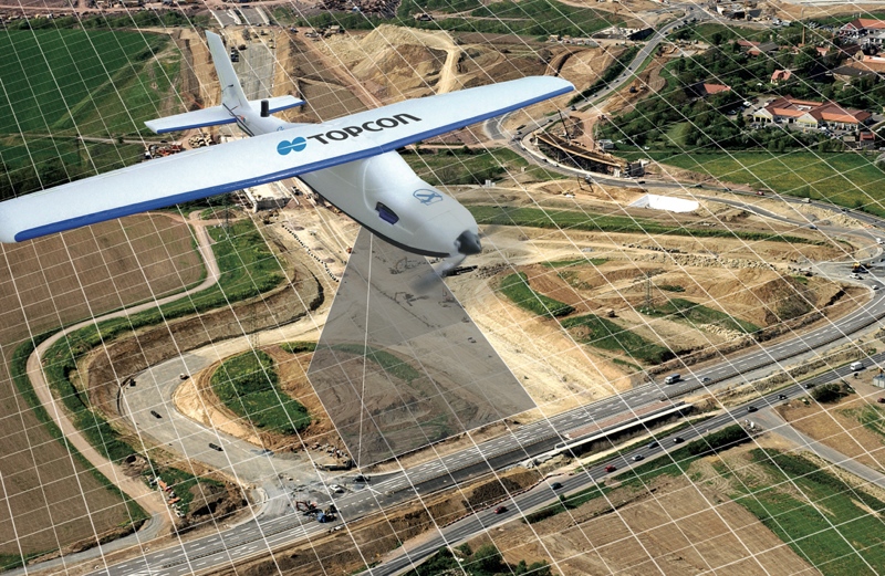
This week, Topcon Positioning Group announced a new UAS mapping software solution, Topcon ContextCapture, built on Bentley’s ContextCapture photogrammetry tech.
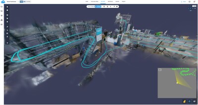
The solution targets the construction, surveying, and mapping markets, and comes in two flavors. The Standard version enables users to process photographic data into point clouds, reality meshes, and orthophotos, and comes with the Falcon 8 and Sirius Basic and Pro mapping solutions. The Advanced version adds functionality for processing data from “any UAS,” as well as access to ContextCapture Editor.
ContextCapture Editor “enables operators to take advantage of all project data by integrating reality meshes and point clouds into infrastructure workflows,” according to VP of the Topcon GeoPositioning Solutions Group Charles Rihner. Topcon promises integration with software and workflows for CAD, inspection, GIS, and civil engineering, on both desktop and mobile devices, and “in multiple formats.”
Rihner says the new agreement will help promote the concept of “constructioneering” that arose from a partnership between Bentley and Topcon. The idea, he says, is to help users “start from a reality-captured survey context and leverage and update their digital engineering models throughout the construction process, and finally deliver the as-built infrastructure in real time.”
Bentley announced a similar deal in December with DJI, which is bundling ContextCapture technology with its own drone mapping solutions.


