

It’s not really an insightful comment to say that the world of geospatial data and technology is global. In fact, it’s pretty much implied by the name. But when you talk to people in the industry who collect and work with this data on a daily basis, it’s easy to be taken aback by just how global so much of this work is. Sure, a lot of it is actually fixated on local data, whether that be at a city, county, or state level, but it all comes together because of that global focus. Whether it be people trekking all over the world to collect key data or standards created to ensure everyone is working from the same base point, that global focus is what truly unlocks the local applications.
It’s also the focus of our stories from friends around the industry today. First up, we have an article from a surveyor describing in great detail a project that sent him as far north as he’s ever been. Next up is a deep dive into a new organization from the United Nations which highlights the importance of geodesy. And finally, we have an opinion piece on the importance of prioritizing geospatial data management across industries and sectors. Find the full stories below.
Arctic Field Work to Scan Muskox Valley
Prof. Antero Kukko, The American Surveyor
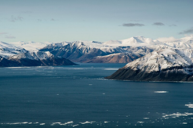
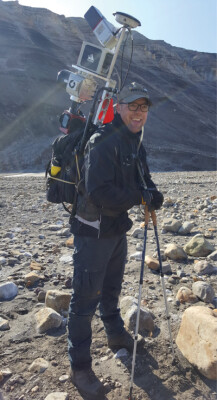
If you like long tales of expeditions through uninhabited lands, this article is for you. Here, Professor Antero Kukko from the Finnish Geospatial Research Institute details a 2019 trip to the Arctic Circle in which he captured lidar data from Axel Heiberg Island. Though it was once inhabited by the Inuit, it has been without people for over a century at this point and is one of the northernmost points in the world. Within this article, Kukko not only talks about some of the data collection processes and what was collected, but some other great details around the trip itself – including a standoff with a muskox.

New UN organization to highlight the value of geodesy
Frédérique Coumans, GIM International
Now we go from a project in an uninhabited island in the Arctic Circle to the biggest international body in the world acknowledging the importance of geospatial data standards. Within this article is a deep dive around the brand new United Nations Global Geodetic Centre of Excellence, or UN-GGCE, and its head of office Nicholas Brown. The article talks about the road that was taken to bring about the formation of this group, why a global standard is so important, and some of the things that need to happen to derive the most value from geospatial data around the globe.

Solving The Data Riddle
Jan Kestle, Geospatial World
Finally, we have another look at geospatial data but from a different angle. In this article, Kestle, the President of Environics Analytics, details how valuable geospatial data can be for a variety of sectors for planning purposes, whether it be governments or marketing departments at private companies, among others. Along with talk about that importance, she also delves into what needs to be done to ensure this data is secure but still accessible for relevant stakeholders. “There is no contradiction between leveraging data and protecting the privacy of individuals – it just has to be done right.”


.jpg.small.400x400.jpg)