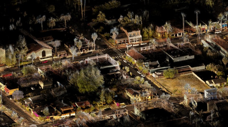
Virtual design and construction workflows and the growing adoption of BIM have begun to revolutionize the construction industry. Here on AEC Next News, we’ve been following the technology needed to build more efficiently, anticipate problems before they are constructed, and keep a living “digital twin” of structures throughout their lifecycle, from conception to facility management.
Traditional stationary laser scanners have evolved over time to be more accurate, more powerful and quicker than previous generations. However, in parallel, SLAM-based mobile and handheld scanners have carved out a niche of their own. These smaller scanners do not rely on GPS, but rely on algorithms to discover where the scanner is in reference to its surroundings. Many can scan continuously while in motion, dramatically reducing capture time, and can be more easily brought into challenging environments.
As discussed on a recent handheld scanning webinar, while early SLAM scanners may have come up somewhat short on accuracy, the newest generation of sensors and algorithm breakthroughs are changing the game. The collection of articles and videos below highlight some of the latest developments in SLAM and mobile mapping.
- Kaarta Stencil Pro: SLAM Mobile Mapper with Integrated 360 Color, GNSS
- GeoSLAM Technology Brings WWI Tunnels to Life
- NavVis Launches New Wearable VLX Scanner
- Emesent Adds Colorization Capability to Hovermap
- Leica Geosystems and Pointfuse Announce Cooperative Agreement
The opportunities for construction and engineering firms to digitize their workflows have never been more important. Stay tuned to SPAR 3D and AEC Next for continuing coverage of the innovations that will help to define our digital futures.


