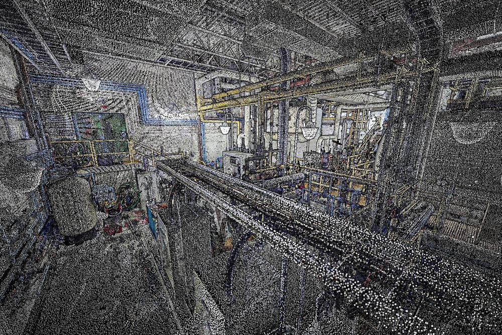
Solv3D’s SiteVisit360 is a platform for publishing and viewing of all kinds of AEC or infrastructure project data. It merges 3D point clouds, panoramic imagery, and photography into a single virtual environment that can be explored in any web browser. It gives stakeholders a greater awareness of as-built conditions and allows them to measure objects, perform searches, link to points of interest, start discussions, attach documents, and more. The software promises to give you “all the situational awareness of being on site, without having to be on site.”
If you’re like me, the first question you’d ask Solv3D CTO Kevin Konynenbelt is, “What makes this software different?”
What Sets it Apart
Konynenbelt notes that the solution is not tied to a hardware manufacturer, unlike most software for presenting and viewing lidar data. This point is important, he argues, because these applications often require users to have a high-power machine or licenses for specialized software to publish—and sometimes even to view—the data.
SiteVisit360 bucks the trend by “providing the presentation and viewing layer via a cloud platform, requiring no software installation or special hardware—only a web browser.” In other words, Konynenbelt argues, SiteVisit360 offers a rare amount of data accessibility and situational awareness for a relatively low subscription fee.
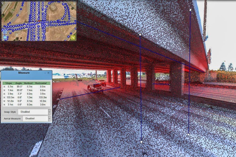
Measuring distances in SiteVisit360
Why Data Access Matters
The solution offers a low-cost, low-friction way to break down the silos separating team members working on a large project. Konynenbelt characterizes SiteVisit360 a central hub where everyone can “step in quickly and see what’s going on,” and team members can see the site without having to make a physical visit.
One important point is that the software merges the geolocated point clouds with site photos so that everyone on the team–experts and novices alike–can have meaningful access to the point cloud data. To explain how, Konynenbelt asks me to imagine that my firm is working on a road project. “When someone comes up and says, “Hey, we’ve got an issue with the overpass—we don’t think we’re going to be able to get our crane underneath it,” you could pop into SiteView360 and do a quick search and measurement. You might find there’s 15 feet of clearance and it won’t cause a problem.”
Since SiteVisit360 allows you to annotate this spatial information by adding comments, attaching documents, and even linking to points of interest, it offers a lot of ways for any team member answer questions, or raise concerns, about the as-built conditions of the site.
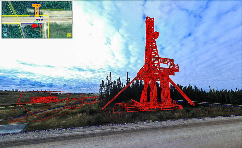
Viewing CAD designs in context
A Different Kind of Accessibility
For Solv3D, making your data accessible means more than enabling all project stakeholders to view and exploit it. It also means making your data more mobile by offering direct integration with CAD and GIS programs and asset management systems.
SiteVisit360 offers a function for importing CAD designs from applications like AutoCAD or MicroStation. Once these designs are in the virtual environment, you can check, share, annotate, and even review them with remote stakeholders in their proper real-world context.
If you’re invested in AutoCAD, SiteVisit360 does one better by offering direct integration. “You can be working on a design and you can say ‘push’ and AutoCAD will push it into SiteVisit360,” Konynenbelt says. This offers you the opportunity to see your design “sitting on the street corner where it will be built,” but without the application storing the design there permanently. In other words, you can use SiteVisit 360 to check your work as you go–a valuable function for designers who are accustomed to working in CAD without any easy way to reference the rich survey data gathered about the real-world site where their design will sit.
A Solution for Falling Hardware Costs
As 3D scanning hardware drops in price, Konyenbelt argues, it will produce a lot of data–and that data needs to be managed intelligently to make it accessible to the people who need it.
“What’s really common,” he says, “is that once survey data is captured, it’s put on a hard drive, shipped to a client, shoved in a desk drawer, and no one ever uses it. With us, it’s cloud-based and all you need is a browser. It allows the entire team to use the data, be viewing the same thing, and collaborate.”
https://www.youtube.com/watch?v=hbqVaO_QYWU