
Bringing cutting edge Chinese research to Europe
NICE, France – The presentation by Boaquan Chen of the Shenzhen Institute of Advanced Technology (SIAT) was undoubtedly one of the most eagerly anticipated sessions at last month’s Optech Terrestrial Laser Scanning International User Meeting in Nice. SIAT is a Chinese research institute dedicated to enhancing the indigenous innovation capabilities of manufacturing and modern service industries in Guangdong province, Hong Kong, and across the country. According to the institute’s website, a key goal is to “promote the establishment of a new industry with proprietary intellectual properties in China.” SIAT certainly has significant state backing for its endeavours, since it already has 800 employees and 700 graduate students, despite being founded as recently as 2007.
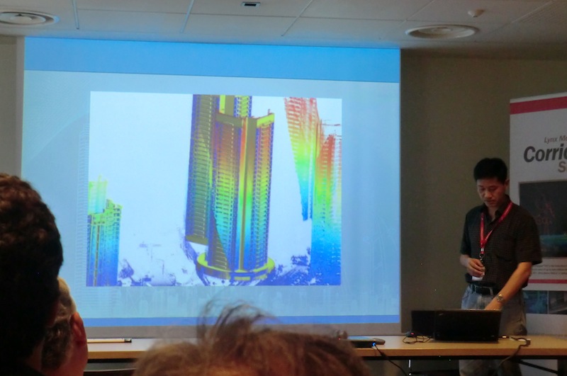
Chen, who returned to China after a number of years studying in the US, explained that his research “typically focuses on 3D graphics and mostly on 3D modelling of cities.”
His first experience of terrestrial laser scanning came in 2002, and, together with colleagues at the University of Minnesota, he was involved in an early attempt to mobile map the city of Minneapolis in 2006. “We spent about two months scanning the city non-stop and in the end we only got about a one square mile area scanned,” he recalled. “I think a lot of you practicing this know why, since [mobile mapping]was still not quite efficient.”
Since relocating to Shenzhen, his research has covered a lot of ground, starting with building 3D models out of points: “The input [was]this whole mapping of the city. And the very first process [was]classification. And here we focused on a very specific goal – to use 3D models, very specific models. When we scanned in the streets we didn’t get enough details, so we wanted to really, for example, even the facade, we wanted to model the details of the facade, which is very challenging.”
So reconstructing architectural models from sparse scans and dealing with the issue of occlusions caused by imperfect scans have been important aims. To this end, Chen and his colleagues developed software “to complete the points as much as possible and also remove some of the noise, also automatically.”
Drag and drop
This work led to an innovative approach to modelling, involving the user. “What we really wanted was to build a complete 3D model, and for this type of data we need interaction, we need user input,” said Chen. “The interaction is very simple – it’s just a drag and drop type of operation. We don’t need to precisely mark corner points or edge points. The system, the software will do that for you.”
Using their system’s drag and drop capability, Chen explained that it was possible, for instance, to produce a very detailed model of a high-rise community of 20 buildings in Shenzhen in “about 40 minutes.”
From buildings, the next focus of the SIAT team’s research was trees. Modelling of trees is a difficult proposition, but Chen and colleagues found that it was possibly to achieve a pretty faithful reconstruction from three terrestrial scans of a single tree. However, this meant large point clouds and intensive labour, “so we removed that requirement: We just take five or however many trees, and overlap together and build a reconstruction and simulation at the same time, so it’s kind of like growing a tree.”
The researchers have since gone further with this process: “The latest work is that we actually scaled this process up to millions of trees and we automatically segment and classify the type of trees,” revealed Chen. “Basically we have our trees, we have a database for reconstruction. We have the initial point cloud and the initial classification and we take the knowledge on the database and automatically construct [trees].”
There might not be any obvious commercial uses as yet for a process that can precisely model every single branch of a tree, but, explained Chen, “visualisation wise, it’s challenging for research.”
The next step in the SIAT team’s ambitious research programme will be to combine survey data from multiple sources. “We just started looking at putting the different things together – airborne and terrestrial – that would give us a more complete input and a better reconstruction,” said Chen. “More recently, we have combined photographs with laser scanning; they really complement each other, these two sources of data together, since the images have much higher resolution, but are 2D in nature. Point cloud is 3D but is lower resolution and missing data, but by combining the two sources of data, the end result is that we get a better reconstruction.”


