
Small city has big plans for 3D scan data and GIS
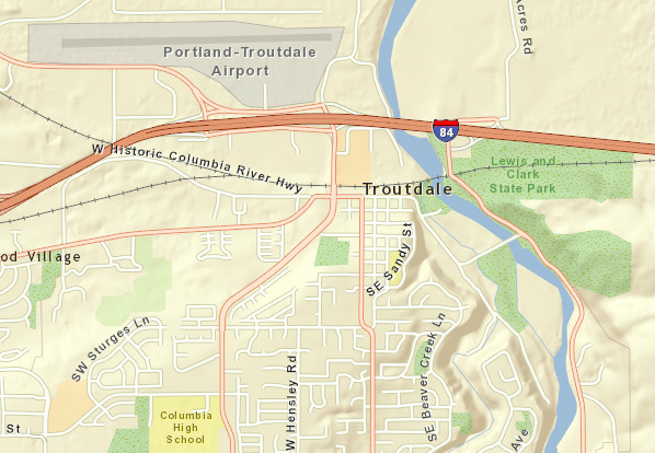
TROUTDALE, Ore. – On Monday, August 22, the PPI Group, a survey and construction supply group based up the road in Portland, took its Topcon IP-S2 mobile scanning Prius and traversed each and every street in this little city of about 16,000, nestled at the junction of the Sandy and Columbia rivers.
“I created a map that would take you through the city, mostly doing right hand turns, to avoid sitting at a traffic light, and going through the streets at the most once,” said Troutdale GIS analyst Christine Amedzake of the preparation for the scanning, for which city residents were asked to park off street. “We went out there and tested each route to make sure it passed every street at least once … Six hours and three minutes is what we got for driving the speed limit for every road.”
That’s good news, since the scanning vehicle comes at $5,000 for an eight-hour day, and you can only rent by the day.
The big question, of course, is: Why does a city of 16,000 need a complete point cloud of its streets?
Amedzake said the trigger was a runover fire hydrant: “We couldn’t find the water valve to shut off the hydrant and that started us on this path toward getting things in the right place.”
There was also the matter of the town’s adopting ESRI’s GIS software. “We have the ArcInfo, with a few extensions,” Amedzake said, “mainly the map, to drop points, lines and polygons. Mostly it’s to locate our infrastructure, things like fire hydrants and manholes, water valves, also to keep track of street names.” Troutdale also shares with a number of other cities and towns a service called Metro, to which they submit data and request information like property lines.
“We don’t really maintain the layers,” Amedzake explained. “We just make sure they’re correct.”
Previously, however, the city kept track of all of its infrastructure in AutoCAD. But when that was transferred into ESRI, “they didn’t project right or sit right in the map. It was close, but we’d have waterlines going down the center of streets, when they should be on the right side.
“The idea now,” Amedzake said, “is that we need to know, almost to a survey grade, where things are … Scanning will get that location much better.”
She said she ran through a number of different scenarios for getting the information the city decided it needed. “The first one was to go out with a tape measure, which was the worst case scenario. The second one was to GPS everything,” Amedzake said. “The problem with those two would be the amount of time it would take. And GPS can be about three feet off. That wouldn’t help us. You have to be as close to accurate as you can. Someone is going to be potholing to put in a cable line nearby, and three feet just isn’t good enough.”
Now that the data is collected, the first order will be to pick out all the manholes, water valves, catch basins and fire hydrants. After than it will be light poles and trees along the streets. Then street signs. After that, maybe an inventory of street striping. Amedzake said she’s still coming up with potential uses for the data.
“It’s really neat,” she said, “because as soon as you get the data collected, you have it forever. We own that data forever. So, if the county wanted a copy, we can just give it to them. If we wanted to, we could sell it, too, but we’re not going to. We’re just going to share it.”
Already, Troutdale has an ESRI-powered page on its web site where interactive maps can be pulled up and examined http://gis.ci.troutdale.or.us/index.htm. This promises to offer vastly more information to the inquisitive city resident or potentially new resident.
At the end of the scanning day, PPI handed Amedzake two external hard drives, and she’ll be doing all of the post-processing herself, using Spatial Factory http://www.topconpositioning.com/products/software/office-applications/spatial-factory, Topcon’s software for exporting ESRI Shapefiles (along with other post-processing). The raw data will include all of the lidar, 360 images per three meters of driving, the GPS data, and trajectory information.
She figures she can pull out all the fire hydrants (about 600 of them) in maybe eight hours of work. Another eight hours might get all the street signs. After testing with PPI, she’s confident everything will be accurate to within 3 to 5 cm.
“It’s going to be great,” Amedzake said. “Five thousand dollars to get your whole city in the computer? … There’s no way we could survey the whole city for five thousand dollars. We would guess it would take years to get that kind of information. I hope it’s going to be pretty good, because I’m putting a lot of eggs in this one basket.”


