

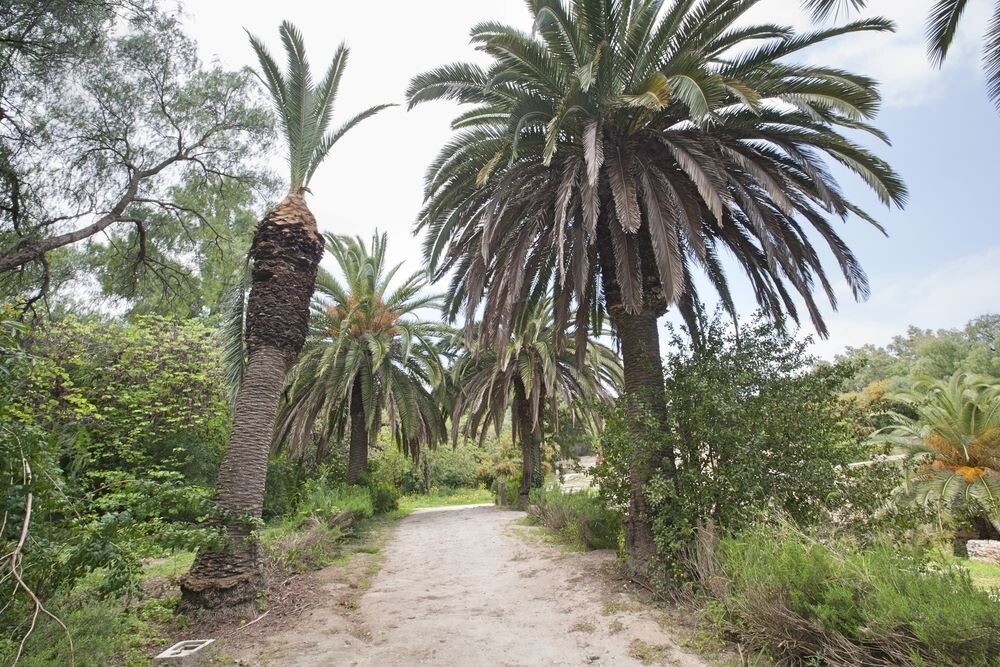
In many places around the world, we have a tendency to take our road systems for granted. For more underdeveloped and under-resourced areas, however, poorly functioning road systems, or a total lack of road systems, is a major issue for transporting goods and emergency services, among other reasons. Rectifying this issue is one of the ways in which greater accessibility to geospatial data like satellite imagery, combined with the current boom we’re seeing in AI capabilities, can help. Late this year, we’ve seen one example of this happening with a joint effort between the World Bank, Amazon Web Services (AWS), and Alteia.
To be clear, this kind of work is not new, particularly for the World Bank, which has been working to map and reconstruct poor roads around the globe since 2002. They indicate that they’ve constructed or rehabilitated over 260,000 kilometers of roads in that time, and have lent more for these projects than for education, health, and social services combined.
What is different today is the confluence of those technological trends noted above, which is where AWS and Alteia come in. Using analytics capabilities from Alteia’s Aether software platform, which is run on AWS, the World Bank is able to run their assessments of road infrastructure more quickly and at less cost. Their methodology uses publicly available geospatial and satellite imagery on the Registry of Open Data on AWS, and has been utilized to improve road infrastructure and connect underserved communities in Mexico, Peru, and Tunisia, among other locales around the world.
In order to complete this work, Alteia uses their in-house AI and computer vision techniques to extract road network data from satellite imagery before analyzing all of this data within minutes. These algorithms are able to, among other things, determine the quality and roughness of roads while differentiating between paved and unpaved roads. Additionally, they’re able to factor in climate conditions and how roads may be impacted by climate change. Combining all of this, along with how close these roads are to critical services like schools and hospitals. All told, compared to traditional workflows that took about 15 years to reliably map and assess 500,000 kilometers of roads can now take less than nine months.
This is a perfect example of the ways that these improvements in the power of AI can transform the work that the geospatial industry does. Alteia is one company that has been at the center of innovation in many respects. Earlier this year, for example, we spoke with the company about how they are using NeRFs to inspect power lines and cell towers.
With this specific workflow, the joint AWS-industry team told Geo Week News that there is hope moving forward that they will be able to apply these techniques in order to monitor projects after they’re implemented, “especially in countries where conditions are difficult and work sites may be hard to reach.”
They continued, “For example, once a road has been built or improved, it’s possible to do another analysis a few years later and measure the impact of that improvement on various socioeconomic factors including school completion rate, poverty rates, and impacts on local farming production. In the case of Tunisia, weather data is added, to simulate the impact of climate change and understand the pressure of the environment on the road network leading to a proactive maintenance plan rather than a reactive one.”


