
Smartphones comprise 90% of location-based service (LBS) devices sold
By 2022, the number of GNSS (Global Navigation Satellite System) receivers and devices in use is predicted to hit seven billion. That’s nearly one GNSS device for every person crowding the planet, the European GNSS Agency (GSA) said in its third market report on the positioning technology.
Today, the installed base of GNSS devices is over two billion, and most of those are in Europe and North America. In the future, however, most of this growth will be driven in regions outside Europe and North America, the report said.
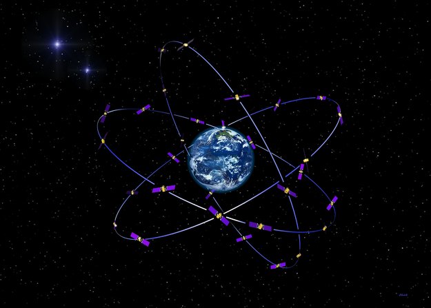
GNSS is a system of satellites that provide geospatial positioning with global coverage through receivers using available GPS, GLONASS, Galileo, Beidou, and other middle Earth Orbit (MEO) satellites, typically hovering about 10-20 miles above the planet.
Multi-constellation GNSS receivers grab market share
Today, multi-constellation receivers, which use all navigation signals in view, are becoming more widely available on the market with more than 70 percent of GNSS models SBAS (Satellite Based Augmentation System) capable. These devices offer increased availability of signals, especially in urban environments, and more robust performance in professional applications such as surveying. GLONASS is the second constellation of choice for users after GPS, the report said.
Global GNSS-enabled markets are forecast to grow to $344 billion per year by 2022, according to the report, which also said core revenues – attributable to direct GNSS functionality and service – are expected to reach $138 billion over the period.
Countries will increasingly implement regulatory measures to promote the use of GNSS, for example in emergency location sharing or search and rescue operations, which will further drive growth in Europe and North America over the next five to 10 years, according to the report.
The report analyzes key market segments: location-based services, road, aviation, maritime, agriculture, surveying, and rail.
Smartphones dominate
The market for Location-based services (LBS) includes smartphones, tablets, digital cameras, laptops, fitness and people tracking devices, and mobile data revenues.
For example, LBS devices increasingly support navigation and other services in the Road market segment, which is cannibalizing the share of personal navigation devices (PND) in the market, the report said.
Smartphones comprise 90 percent of LBS devices sold, and new smartphone capabilities “will dominate global GNSS revenues and with other integrated technologies they are entering into other market segments, not only LBS,” according to the report.
However, with the growing penetration of tablets and increased GNSS usage in digital cameras, the smartphone share is expected to decrease over the next decade, the report said.
GNSS in the marketplace
Here are some examples of GNSS applications in key market segments:
Location-Based Services (LBS): smartphones, tablets, digital cameras, laptops, fitness and people tracking devices, and mobile data revenues. 
Road: Personal Navigation Devices (PNDs) and In-Vehicle Systems (IVS) used for navigation; devices used for Road User Charging (RUC), Pay-Per-Use-Insurance (PPUI), eCall, and Advanced Driver Assistance Systems (ADAS); and other devices supporting Intelligent Transport Systems (ITS) applications and data revenues for traffic information services.
Aviation: GNSS-certified devices for commercial, regional, general & business aviation, and uncertified devices aiding pilots flying under Visual Flight Rules (VFR).
Rail: GNSS usage in safety-critical devices supporting signaling (high and low density lines) and non-safety devices supporting other applications (asset management and passenger information).
Maritime: GNSS devices to support general navigation, the Automatic Identification System (AIS), the Long Range Identification and Tracking (LRIT) System, port operations (including portable pilot units), dredging, and search and rescue beacons.
Agriculture: GNSS devices used for tractor guidance, automatic steering, asset management, and Variable Rate Technology (VRT).
Surveying: GNSS devices to support land surveying (including cadastral, mining, construction, and mapping) and marine surveying (including hydrographic and offshore surveys).


