
At the International LiDAR Mapping Forum this year, it would be hard to ignore the way that the drone vendors—once contained to a little pavilion—are spreading out over the entirety of the expo. Judging by this year’s show floor, the UAV has shaken off its rep for being “cool but not good enough” for mapping applications and claimed its rightful place among the established technologies in the geospatial industry.
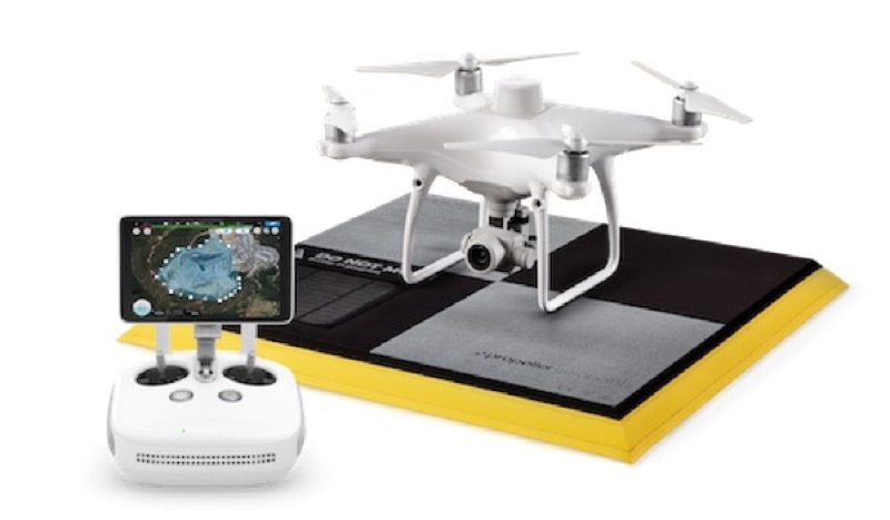
That is due in no small part to companies like Propeller, which was on hand this year showing off a solution for capturing survey-grade data with a DJI drone and a very small amount of infrastructure.
The Propeller PPK was developed in cooperation with DJI to pair with the affordable Phantom 4 RKT drone. When you use the system, you simply lay a single AeroPoint GCP “near your takeoff point,” and fly a pre-programmed path with your Phantom 4 PPK. In return, you’ll get 3cm accuracy for your drone survey and a simple processing workflow.
For more information about this drone solution, and Propeller’s smart take one the future of the donr industry, watch our on-site interview below.


