
Plexscape, a software company whose products bring satellite imagery and terrain data into AutoCAD, this month announced a new partnership with Inflights, a drone surveying company. With the two companies now working hand in hand, civil engineers will be able to utilize big picture data for preliminary design and then have detailed surveying data from Inflight’s drone surveying solutions.
Plexscape’s flagship product is Plex-Earth, which can connect AutoCAD with Google Earth, with the paid version also offering access to satellite and aerial imagery from providers like Hexagon, among others, along with terrain data from Google and Cesium. Until now, they hadn’t added drone image and data into the product, waiting for the right solution to match their needs. Inflights matched what they were seeking, leveraging the company’s group of drone pilots who each cover small regions and covering large portions of the globe.
Plex-Earth users will now be able to utilize drone surveying as opposed to the traditional land-based methods, allowing for more area to be covered in less time, doing so more efficiently, and more safely. And with this partnership, engineers will no longer have to worry about permits if they did want to use drone surveying. Users will have a choice between a few different options for the types of surveying they utilize, with terrain options for larger projects and roof for smaller ones, and each of those including a simple photogrammetry option or one with photogrammetry and CAD.
By utilizing a large network of local pilots, each of whom being an owner of a specific local entity, users are able to take advantage of the knowledge of local factors. These local pilots will carry the knowledge of local weather windows, are more aware of the local laws and regulations regarding flying over specific structures in the area, and are close enough to any given location to be able to reduce both travel time and cost.
With this partnership, there are benefits to be reaped by both pilots and engineers, creating a true win-win scenario. With Plexscape already having plenty of engineering clientele and Inflights’ cadre of local drone pilots, the two can come together and provide an end-to-end process for construction projects.
Plexscape’s mission is to make geography easy for every engineer and architect in the world. Plex-Earth, the flagship product, was developed in 2009 and was the first cloud-based software created in the CAD market and has been an authorized member of the Autodesk Developer Network (ADN) for over a decade. The product provides a complete 3D geographical view of a project area for an engineer and/or architect, using imagery from companies like Airbus, Maxar, Nearmap, Hexagon, and Google Maps, among others, and is available in both free and paid premium versions.
Meanwhile, Inflights provides surveying data from the aforementioned cadre of local drone pilots. Using their drones, they are able to scan a site and reconstruct a project in 3D, allowing for accurate terrain modeling and potentially detecting an object or obstacle present on the site. Inflight also utilizes their own web app to enable team members to share and view visuals via a browser.
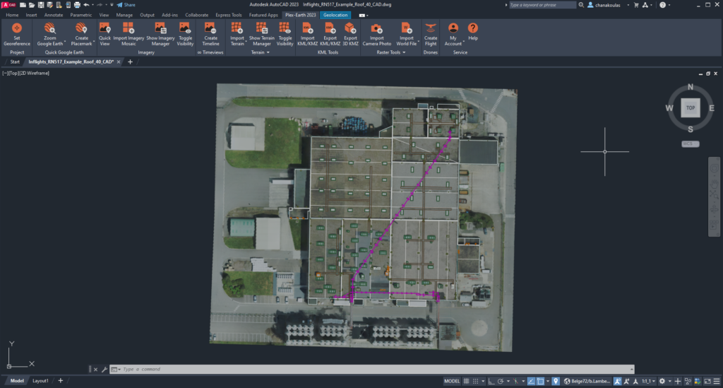
With the new partnership, customers will be able to get centimeter-scale drone data into an AutoCAD project and streamline construction projects from beginning to end. Plexscape users will be able to receive discounts on custom drone flights in 2023, allowing customers to receive more precise maps and 3D models than can typically be obtained with traditional surveying methods.


