

Orbify is a SaaS platform that enables the creation of custom Earth Intelligence web applications, dashboards, or APIs. Platform users can combine three different components that allow for the easy creation of these applications: data, algorithms, and visual components necessary for a front-end web application that is presented to the end user. Everything is cloud-based, running in Google or Amazon’s cloud-based environment, depending on the user’s needs. The company maintains a freemium model, meaning users can sign up for free but certain features may require payment.
From data to insights
While there is more data than ever available, many companies today struggle to derive insights from it to make better business decisions. There are different reasons for this: applications to process geospatial data are difficult to use, or geared towards a different, mostly academic audience. Many companies also think they need to build up a data infrastructure themselves to be able to derive such insights, which is unnecessary due to the wide availability of public data sources. Orbify was created to help such companies on their data journey by providing the different components that are required to quickly start deriving insights from different geospatial data sources without having a complex data warehouse to collect and process the data themselves. Currently, the most popular use cases for Orbify’s platform are forest monitoring, air monitoring, urban planning and water quality monitoring.
Orbify’s platform components: data, algorithms, and visualization models
Orbify offers its users access to both public and commercial data. They can also upload proprietary data that they own themselves. Publicly available data includes Landsat and Sentinel imagery; on top of this comes data from a few commercial providers. Just like general GIS software analysis tools, Orbify provides out-of-the-box algorithms to process geospatial data, while an additional coding environment enables custom modification of the processing through scripting or “ready to use” code snippets blocks.
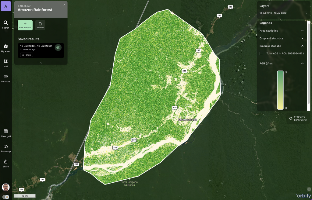
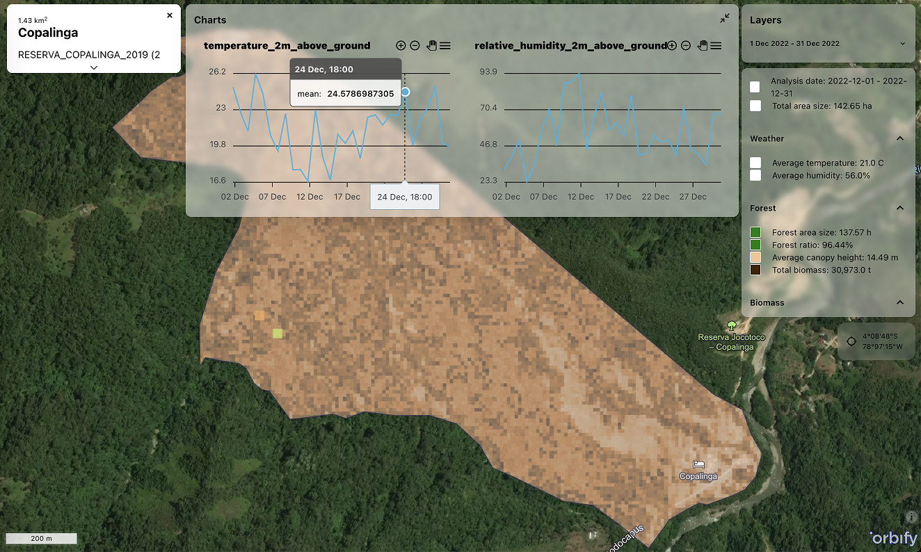
Each application created with Orbify contains a map visualization element, similar to Google Maps’ interface, combined with a data analysis workflow in the lower part of the screen. From a design perspective, an application builder can use a set of templates to mix and match different app components, just like blending templates in the Wordpress editor. Advanced users with programming experience can work with code directly currently available in Python.
What makes Orbify different is its user approach, meaning an end user is presented with an easy-to-use application that runs in a browser, where it’s impossible to break anything. Builders can focus on the data analysis workflow, data integration/processing, and creating a user interface.
App marketplace
In addition to opening its platform to a larger public outside of its beta users, Orbify plans to launch a marketplace where end users can get access to ready-to.use apps and builders can list their apps and various components for sale. This makes it easier for end users to get up to speed and use applications that have been created by others. CEO Jakub Dzwisz explains how the app marketplace came into being: “We at Orbify understand that some people, who are deep into earth observation, may not necessarily be focused on marketing and commercial aspects of business development. We want to provide them with a marketplace, where application builders can offer their apps and provide users looking for apps with the data, presentation layer, and workflows that meet their needs.”


