
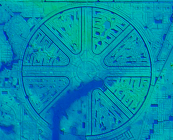
If you’re a geospatial professional and your work includes coastal zones, The National Oceanic and Atmospheric Administration (NOAA) wants to help you get more out of your LiDAR.
To do this, the agency has introduced a free online, 80-minute self-guided training. It covers topics like fundamental concepts of LiDAR, and how high-accuracy data sets derived from LiDAR data support natural resource and emergency management applications in the coastal zone.
NOAA says that “the material provides geospatial analysts with the information needed to understand the characteristics of LiDAR that have direct impacts on mapping and spatial analysis projects.”
In the course, you’ll learn how to:
- Define lidar
- Select types of elevation data for specific coastal applications
- Describe how lidar data are collected
- Identify the characteristics of lidar data
- Distinguish between lidar data products
- Recognize aspects of data quality that impact data usability
- Locate lidar data sources and additional information resource


