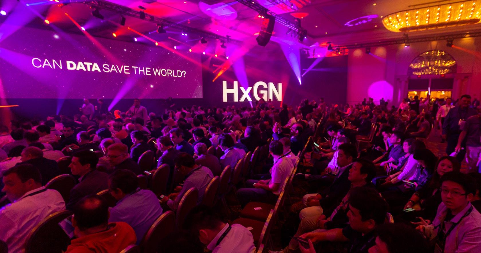
HxGN LIVE is Hexagon’s global digital solutions conference. This year’s edition featured a number of significant new product releases and updates from Hexagon’s sensor and geospatial divisions, as well as a new public safety portfolio.
Hexagon Geosystems product releases
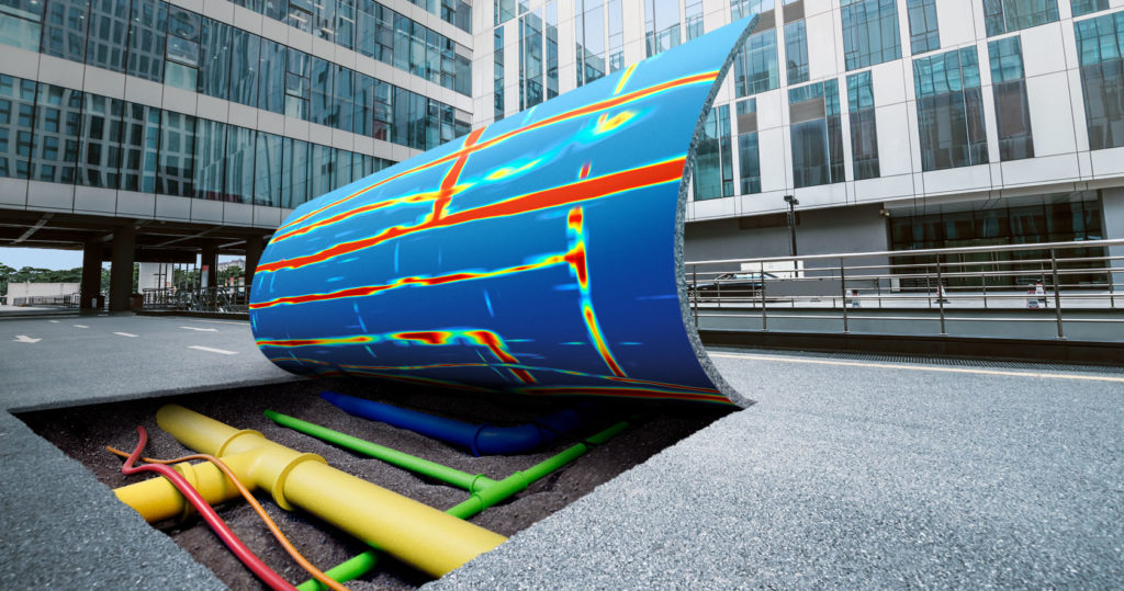
Hexagon announced several new sensor technology solutions for spatial data capture and processing: two new laser scanners, a system for ground penetrating radar and a reality capture software solution. Leica DSX is a portable ground penetrating radar solution for underground utility detection that allows users to easily detect, map and visualize underground utilities safely and reliably with high positioning accuracy. The solution consists of portable hardware with intuitive software that allows to easily locate, visualize and map utilities. The DXplore software that is part of DSX translates correlated signals into user-friendly and intuitive results, using a smart algorithm to generate digital utility maps quickly while users are still in the field.

Leica DSX will allow users to detect, map and visualize underground assets with high positioning accuracy.
New laser scanners were added to the Leica BLK series: first is the Leica BLK2GO, a portable, integrated handheld-imaging scanner that combines visualization, lidar and edge-computing technologies to scan in 3D while in motion. Second is the Leica BLK247, a 3D laser scanning sensor designed for continuous 3D reality capture, using edge computing and lidar-enabled change-detection technology. Using artificial intelligence, it extends capabilities for safety and security applications, especially within restricted or high-security spaces.
Finally, Leica Cyclone 3DR is a new reality capture software that fuses technology for centralized point cloud management from Leica Cyclone with automated point cloud analysis and modeling from 3DReshaper, simplifying data processing, visualization and delivery of high-quality meshes, reports and more. The software includes a range of adaptable features for automating cleaning, modeling, meshing, extraction, inspection and reporting. An assortment of 3D deliverables can be created to meet the unique needs of reality capture professionals across a wide spectrum of fields.
Hexagon Geospatial Division product releases
Luciad is a Belgian geospatial software provider that specializes in visualization and analysis of real-time location intelligence. It was acquired by Hexagon in October 2017, after which its software was integrated in various key initiatives from Hexagon´s geospatial division. Last January, Luciad V2018.1 of the Luciad Portfolio was released, followed by the V2019 during HxGN Live 2019.
This latest release is an update of different components of Luciad’s geospatial software platform. The Luciad platform offers “advanced geospatial analytics” for organizations “managing the deluge of IoT sensor data, which has to be visualized to empower operational and mission success” as Mladen Stojic, President of Hexagon’s Geospatial division puts it.
Updated components include LuciadLightspeed, a desktop platform, and server-solution LuciadFusion, that both support the Open Java Development Kit (OpenJDK) as well as the latest Oracle Java virtual machines. LuciadFusion now offers a RESTful API for developing automated data services or develop a custom-branded LuciadFusion Studio, a web interface component data viewer and publisher.
Also updated are mobile solution LuciadMobile and browser-solution LuciadRIA, offering support for the latest defense and aviation standards. Finally, a new product is included in this new release, called LuciadCPillar, a situational awareness SDK for software developers. It is described as “Hexagon’s answer to the growing demand for a mission-critical desktop API for the C++/C# community”.
Another separate product announcement from Hexagon’s Geospatial Division is the release of M.App Enterprise 2019. It is the latest version of M.App Enterprise, an on-premises platform for hosting and deploying Hexagon Smart M.Apps, which are smart applications that combine content, business workflows, and geoprocessing into an interactive and dynamic analytics view. M.App Enterprise 2019 integrates capabilities from Hexagon’s Luciad Portfolio to enhance data visualizations, analytics and management. The Luciad Portfolio integration allows users to connect to, visualize and examine file-based vector and raster data from their Smart M.Apps in 3D, while the addition of classification algorithms enables M.App enterprise to perform advanced remote sensing with machine learning.
HxGN OnCall release
Last but not least, Hexagon launched HxGN OnCall, a public safety portfolio that leverages data analytics in real time to enhance operational awareness, increase efficiency and optimize resources. It comprises of four product suites that can be deployed together or independently: Dispatch, Analytics, Records and Planning and Resource. OnCall incorporates IoT, mobility, analytics and the cloud for new public safety solutions ensuring citizens can reach authorities by all communications channels available.

The HxGN OnCall Dispatch suite provides police, fire, EMS, and communication agencies with incident management and call-taking capabilities to deliver better service during emergencies and major events.


