Leica Geosystems Inc. today announced that the Imagery Services division of the Nevada Department of Transportation (NDOT) has taken a major step in upgrading its mapping capabilities by investing in a Leica DMC IIe 230 digital airborne camera to replace its film camera system. The purchase allows the agency to obtain better quality imagery with a faster turnaround for design mapping purposes as well as for planning, public hearings, and legal, environmental and GIS uses.
The Leica DMC IIe 230 is a lightweight and compact camera system that increases reliability by reducing external components. The digital mapping camera consists of a fully integrated GNSS and inertial measurement unit (IMU) along with a 230-megapixel panchromatic sensor and 42-megapixel red, green, blue and near-infrared arrays that simultaneously acquire all color bands, resulting in perfectly co-registered data sets. The camera is easy to install and offers straightforward flight planning and operation. It can also be upgraded to the Leica DMC III at a later date if desired.
NDOT Imagery Services Lead Lucille Adams said that safety, accuracy and time savings were the main reasons the agency chose the Leica DMC IIe 230. “The Leica DMC IIe 230 will provide higher quality imagery at a better resolution than film, while flying at a higher altitude,” she said. “This will save on fuel and increase flight crew safety, especially in areas of extreme terrain and high traffic areas. The integrated IMU and GNSS allows for a reduction of the number of survey control panels required to be placed throughout a project, resulting in a cost savings as well as improved safety for our survey crews by reducing the time spent on busy highways. Additionally, the time from imagery acquisition to delivery will be reduced to one day, as opposed to the current two week turnaround due to film processing and scanning.”
Adams also noted that the amount of time required for photogrammetric mapping will be significantly reduced due to the implementation of automated processes not available with film.
The Leica DMC IIe 230 camera supports the agency’s current corridor mapping workflow, which relies on stereo compilation with a human operator, while providing the required engineering grade mapping. It will also extend the agency’s capabilities through its ability to provide dense surface models directly from the imagery, which can be fused with data collected by other means. “This new technology will expand our current internal client base tremendously,” Adams said. “The imagery, point clouds and surfaces created from this system can be utilized by nearly every division within NDOT.”
Shawn Slade, sales representative for Leica Geosystems’ aerial sensor systems in North America, said the investment is an important strategic move for NDOT. “As aerial film becomes increasingly difficult to acquire, tremendous advances have been made in digital camera technology,” he said. “We’re honored to support NDOT as they streamline their mapping workflow with high-resolution digital imagery acquisition.”
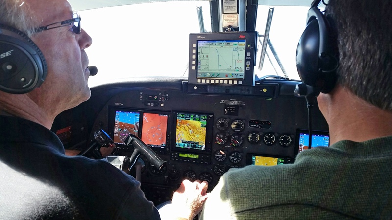
Watch a video interview with Lucille Adams discussing the new camera at http://leica.gs/NDOT.
For more information about NDOT, visit www.nevadadot.com. To learn more about airborne sensor solutions, visit www.leica-geosystems.us.