
MDL gives ‘even the smallest survey organizations’ a way to get into mobile scanning
HOUSTON – While it is not unusual for municipalities or asset owners to “rent” mobile scanning services from service providers on some kind of daily collection rate, Measurement Devices Ltd. (MDL) has announced it is pushing this rental idea further up the food chain, allowing service providers to rent its Dynascan mobile scanning system, and soon its newly introduced high-accuracy S250 line and Faro Focus3D integrated mobile system, on a project basis.
“Anybody can get into the game now,” said Travis Reinke, COO of Measurement Devices US.
But has mobile scanning really gotten that easy, that systems can be rented like a truck from UHaul?
“No, I wouldn’t go that far,” chuckled Reinke. “We want to make it easy enough so that they can pick it right up and do it,” he said, “but there’s still a lot more to it right now.”
For the time being, he said, MDL wouldn’t even rent to a service provider who hadn’t used the system before or been trained on it. “It’s not rocket science,” Reinke said, “but it’s not a cakewalk either.” That’s why MDL has assembled its Technical Services division to provide support on initial jobs, provide training, and provide back-office data processing support after the collection has been done.
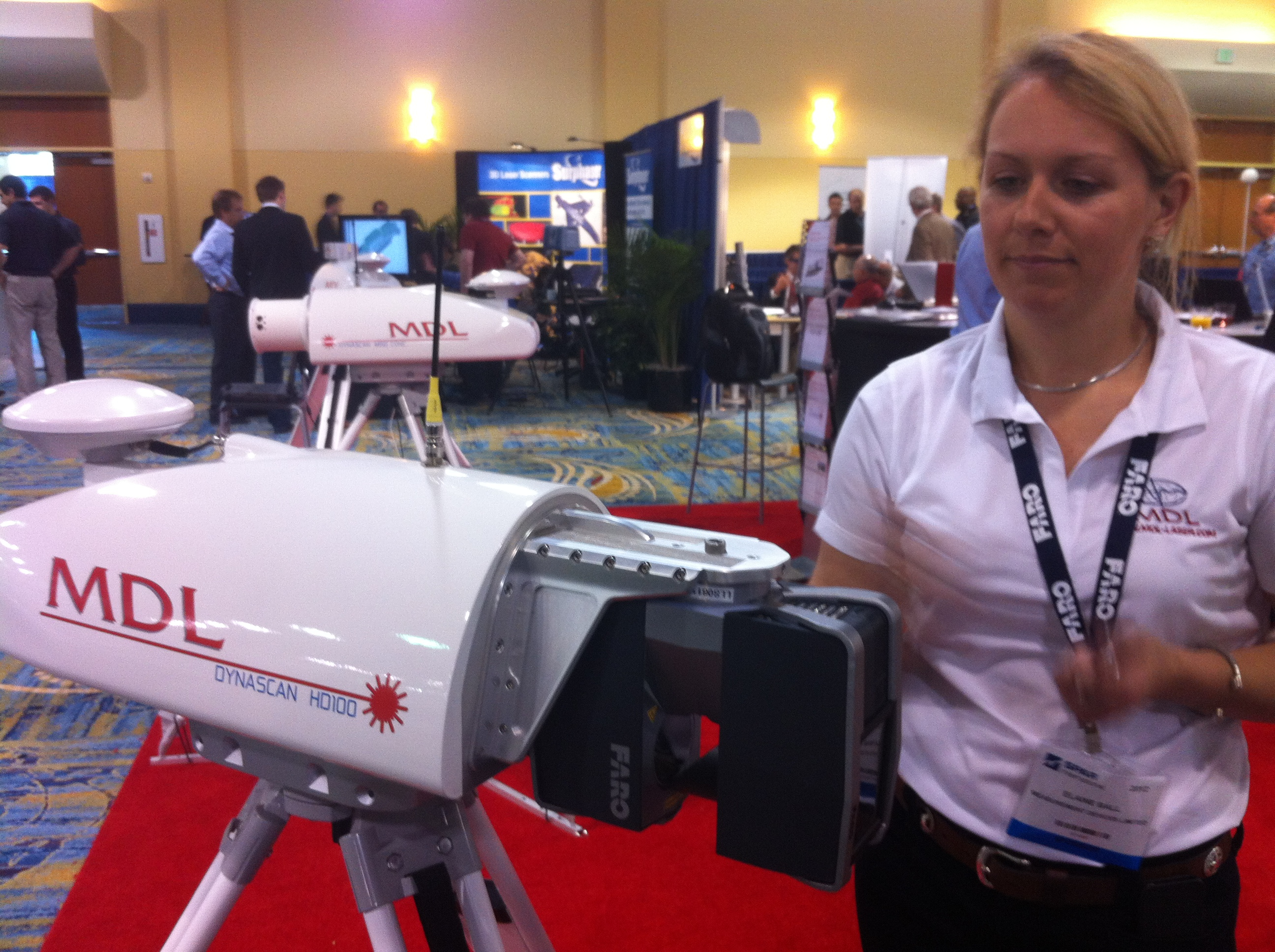
While the hardware part of the system is relatively straightforward – the system is 50 pounds in total, and can be shipped for plug-and-play operation right out of the box without need for special rigging hardware or calibration – the software is less so. MDL uses software company QPS’s QINSy package, which was originally designed for hydrographic data collection and offers real-time visualization and processing of the data being collected.
“There’s a lot to it,” Reinke said of QINSy. “You’ve got a spinning laser on a mobile platform. Minor changes in the software can drastically affect your results.” Dynascan is a real-time system with georeferenced point cloud data available upon completion of the field data collection. However, should a user choose to use Waypoint’s GNSS/INS post-processing package to refine the results, there is definitely a learning curve.
Still, he said, this kind of rental option could help “right off the bat, some of the smaller survey firms that are struggling to be competitive. They don’t have to make a huge investment to be competitive.” Further, he said, all rental fees in the first 30 days can be rolled into purchasing a system, and 50 percent of all spend in the first 60 days can be rolled toward a system purchase, should a firm feel comfortable with the system and see a market for it.
What about that market, though? These mobile scanners can’t get the kind of survey-grade accuracy many departments of transportation are demanding for design purposes. Are there really applications for this technology that can be monetized? Reinke is confident there are considerable asset management and lower-quality survey applications.
“To put it real simply,” he said, “surveying is always the very first stage of any planning process. Before they decide, they have to know what’s there. A lot of the time, though, they’re basing that off of contour maps or GIS and figure out a plan forward. This way they can start with something much more accurate.”
For example, he said, “some of the contracts that are awarded to engineers are for schematics. Schematics are essentially a cartoon, a pretty picture, because they are not based off of a real survey.” Rather, it uses baseline geometry, profile view, and whatever topographic data is available.
“Typically, the gruntwork for the base-mapping for schematics is done in-house by whatever technician has the time,” Reinke wrote in a follow-up email to our conversation. “It is assembled mostly from public information off the web, and mostly from GIS. Ownership from the appraisal district, utilities from the city/county engineer, vague and outdated elevation data from state resources, and planimetric linework from an old DoT aerial flight is typically used. All the data is of suspicious quality. But engineers take what they can get, because surveying is expensive, and they don’t want to pay for crews at a thousand dollars a day for the schematic phase, which is just conceptual.”
With a Dynascan mapping-grade mobile system, he reasoned, new and up-to-date data can be gathered quickly.
How many municipalities and military bases are populating their GIS asset management programs using individual GPS readings taken by crews? Could a low-cost rented mobile scanning system do the job more quickly? Billboard inventory analysis? Street sign inventory? Curb cuts?
“There’s such a huge potential,” Reinke said. “We’re surrounded by all this data – how do we utilize that?” A rental program like the one offered by MDL might allow companies to experiment with providing that data to their customers in myriad ways without having to make a large initial investment.


