

It’s certainly well-known that a wide array of people and organizations, both public and private, can benefit from basemaps derived from leaf-off aerial photography and lidar data. The issue, often, is that it’s not clear where to get that data, and whether or not you need to collect it yourself. Depending on where you are, that data can be collected just from a local government for their own use, or the federal government, or even private companies who license out the data. The disparate nature of this data can be frustrating, and often results in some not getting all of the data they may need.
That sparked an initiative in Kentucky called KyFromAbove, a state-run project to collect this information for the entire state, and then making the data publicly available to anyone who could use it. There aren’t currently many programs quite like this in the United States, and its program manager, Kent Anness, took some time to speak with Geo Week News about the program, its accomplishments, and the value it’s provided to the commonwealth of Kentucky.
As Anness explains, the KyFromAbove program was started a little more than a decade ago under Governor Steve Beshear’s administration, and “really got legs in 2011 when we did our first RFP and started the [data] acquisition in earnest.”
Asked about what the impetus was to starting this program in the first place, Anness echoes some of those thoughts we mentioned at the top with the disparate and unorganized nature of the data. As he puts it, there were a lot of “duplicative efforts” at the time in terms of this data collection. He recalls in 2009 when Kentucky’s Geographic Information Advisory Council noted that some areas of the commonwealth were being flown multiple times in a given year by different agencies. That’s a lot of money being spent to do the same thing, without the data being shared widely. With that in mind, one of the original goals of the program was to simply “cut down on the waste of duplicative spending and get the data in everybody’s hands.”
That idea of everybody having access to that data is a key which Anness mentions throughout our conversation. This is particularly around rural areas having access to the data, which has not always been the case. He explains that the metro areas – think Louisville, Lexington, etc. – can generally acquire this data on their own, but the rural counties simply don’t have the tax base to support these projects. By having the commonwealth do this data collection, it really “levels the playing field, and empowers those have-nots.”
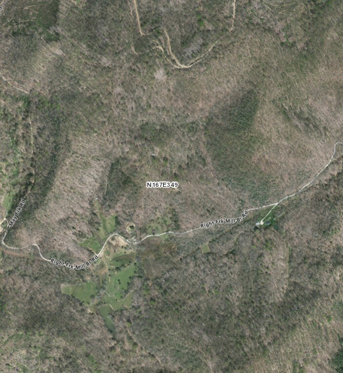
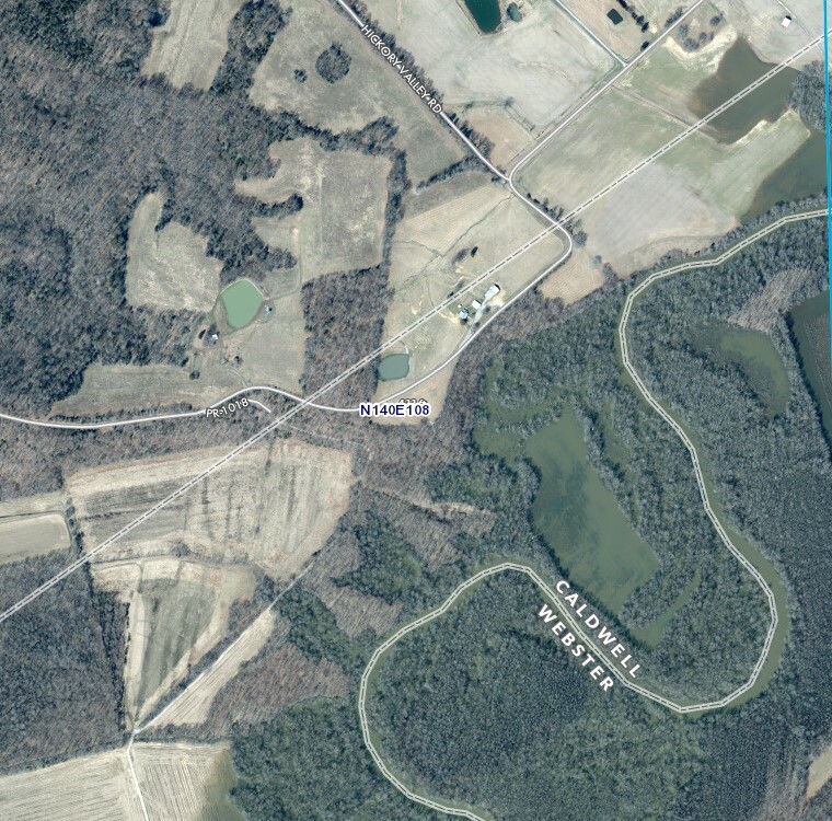
In the decade-plus this program has existed, KyFromAbove has accomplished a few milestones, as Anness describes. He notes that the first big one was just getting statewide lidar coverage, which at the time they were “one of probably just a half dozen of states” to acquire that. More recently, they acquired statewide aerial photography with six-inch accuracy, entirely leaf-off. Other states had acquired that data, but not entirely leaf-off as Kentucky was able to do. Currently, they are working to acquire three-inch statewide data for both ortho and oblique imagery, something he doesn’t think any other state has acquired and something he says will level the playing field for rural counties.
This work has, of course, not been done without its difficulties, with the weather being one such challenge. Anness notes that ideally they would be able to collect this data in “three-to-four year cycles,” but that can be easier said than done. Since this data needs to be collected in leaf-off conditions, that leaves a relatively short window to collect the data, since it also needs to be on a clear day, with no snow, no flooding. He notes that earlier warming has changed the cadence too, with leaves being on the trees earlier than before. “In the early days of the program, we could fly almost up to [Kentucky] Derby day, but those days are kind of gone it seems.”
Even with these challenges, the value this open data has provided throughout the commonwealth, to both public and private entities, cannot be denied. It’s impossible to cover all of the different ways this data has and can be used, but Anness did mention a few examples from different sectors. He talked about the Transportation Cabinet being able to do away with their “phase one” work thanks to the lidar data collected by the program. The Department of Fish and Wildlife performs habitat studies with the data, while the Energy and Environment Cabinet use it for flood plain mapping. On the private side, Anness says developers and engineers building things in the state get great value simply being able to know early if a site will work for their project. That’s just scratching the surface, as the data is also used by federal agencies and local ones alike.
This data has also been crucial in recent years in the aftermath of two devastating disasters in the commonwealth. As Kinsey Morrison, a communications advisor for the governor’s office, tells us, Western Kentucky was hit with tornadoes in late 2021, and then in the summer of 2022 there were devastating flood events in the eastern part of the state. This data was and continues to be crucial following these events. Anness notes that with the flooding, they’ve received more funding from USGS to do lidar scans in the area. As a result, they’ll be able to “have a before and after” of the area, and they’ll “be able to see everything that was moved” as a result of the disaster.
The program continues to grow in other ways as well, and it seems like it will continue to evolve. We asked Anness if they have incorporated any bathymetric or hydrographic work into the project, and while they have not to this point they are hoping to partner up with other organizations to update their hydrography for the commonwealth.
And speaking of partnerships, KyFromAbove also recently awarded a contract to NV5 – who just closed a major acquisition – to help collect that data. Dickerson Wright, PE, Chairman and CEO of NV5, said about this partnership, “Opportunities to deliver statewide geospatial programs continue to grow as more states recognize the value of high-resolution imagery and lidar databases to support economic development and resource management.”
That value is more clear than ever after speaking with Anness, particularly around making that data accessible for everyone, especially in more rural areas. He notes that of the commonwealth’s 120 counties, “80 or 90” have never had obliques or three-inch imagery.
“For a change, the most rural counties in the commonwealth are going to have access to the same level of quality data that the urban areas have enjoyed for a decade or so. That’s pretty exciting.”


