
Designed for easy, intuitive post-processing of laser scan data
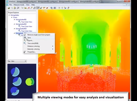
THE HAGUE, The Netherlands – Here at SPAR Europe, software maker kubit is showing for the first time its new VirtuSurv product, which is designed to deliver easy and intuitive post-processing of laser scan data. “VirtuSurv imports and combines comprehensive data sets, independent from the hardware vendor, into complete project files,” according to a press release. “Each scan position within the project file is presented in a high-quality view, similar to a photograph.”
The projects can be loaded quickly, points can be clicked on directly for extraction of coordinates and distances, and coordinates can be transferred to any Windows-based software using customizable macros. Without leaving VirtuSurv, “drawings of objects in CAD programs like AutoCAD/AutoCAD LT/IntelliCAD are generated, database forms are filled or Excel tables are provided.”
According to kubit, “Surveyors can especially benefit from the create field book function. This function enables users to perform their traditional filed survey from the office, by creating coded point lists for CAD import.”
Attendees of SPAR Europe can get a demonstration of the software today and tomorrow here at the World Forum. For a preview showing of some of the software’s capabilities, watch the video below:


