
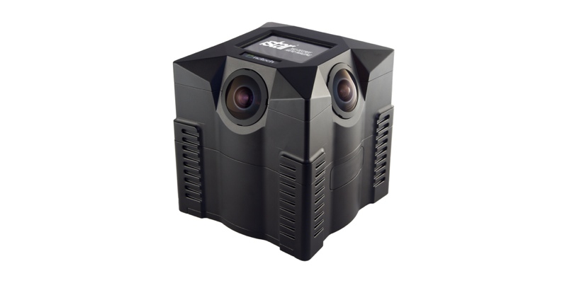
Edinburgh, Scotland-based NCTech has announced two updates for its iSTAR 360°-imaging camera. The iSTAR device is designed to capture spherical imagery quickly and provide visual documentation of any environment. If desired, these photographs can be mapped onto a point cloud to provide high-definition colorization.
The first new development is a software development kit (SDK) that enables users to perform measurement within the spherical imagery. The second development is closer integration with FARO laser scanners for color integration. Both updates will be exhibited at SPAR 3D Expo and Conference from April 11-14 in The Woodlands, TX.
Perform Measurement within Spherical Imagery
The SDK enables users to perform measurement within the spherical images captured by the iSTAR camera as long as the user has captured a stereo pair of images. No point cloud—and so no laser scanner—is necessary.
NCTech promises an accuracy of “approximately 0.1-1% (i.e. 1-10mm across a 1m length).” The company is marketing the measurement solution toward users within the architecture, surveying, construction, and forensics industries. It is best for use in application that do not require the accuracy offered by a laser scanner but would benefit from a relatively low cost and rapid rate of capture.
“Being able to quickly capture reasonably accurate point-to-point measurements from within an iSTAR panoramic image is a very useful capability,” said Neil Tocher, CTO of NCTech. “We have developed this SDK in response to customer enquiries who have indicated that a faster way to generate measurements would be of interest.”
NCTech is providing the SDK to third-party software developers free of charge to build this measurement feature into their own visualization and processing software.
Arithmetica has already integrated the SDK into their SphereVision Project Suite software. As Mark Senior, business development manager at Arithmetica explains, “In addition to the existing functionality that allows them to integrate maps, plans and layouts and enhance with links to other rich media such as video and audio to build an interactive view.”
FARO Scanner Integration
The second development is a closer integration of NCTech’s iSTAR camera with FARO’s Scene Software environment. FARO’s software now allows users to import raw iSTAR image data directly for easier colorization of scans captured using FARO scanners.
“We are committed to making colorization of laser scans as easy as possible, and the best way to do that is to ensure that users can do everything from within their familiar software environment,” said Cameron Ure, CEO, NCTech. “This new integration for FARO users follows on from our recent Leica collaboration and we look forward to announcing further integration developments in due course.”
Both updates will be exhibited at SPAR 3D Expo and Conference from April 11-14 in The Woodlands, TX.


