
Today’s 3D design technologies have found only limited acceptance on construction sites. When it comes to updating the 3D model to reflect changes, schedule trumps model fidelity. A good-enough model this afternoon beats a perfect model available the day after tomorrow. Constructability is seldom explicit in the design. The CAD model doesn’t say where the crane needs to be at what point in the schedule, and hauling which load. The recipe for how to fabricate and put in place is left largely to construction managers and crews – rightly so. These individuals live in a different world from design engineers. The sequence of operations is tethered to external factors – when equipment is available, when labor is available, where labor is available, what unexpected jobsite conditions are discovered. Thus the requirement for modular design (see our article Modular Construction with Dimensional Control – Solutions for Tight Labor Market).
Still another element is that fabricated items and equipment are seldom delivered with reliable 3D models adequate for the needs of construction. Even in Detroit, auto makers tell us they have trouble getting accurate 2D footprint profiles from their production equipment suppliers, much less 3D data.
Is help on the way? We think so. We’ve uncovered case studies and research that points the way to better tools and methods for bridging the gap between design and construction. Better measurement, field validation, dimensional control, CAD are all pieces of the solution. We’re even starting to hear about work-based planning – partitioning designs into construction work packages.
Our hunch is that practitioners are going to have to lash together digital photography, video, traditional survey (including GPS and optical measurement), CAD, 3D laser scanning, RFID and more – and serve it all up in a way that satisfies the schedule and safety imperatives of today’s construction projects.
What’s making this change possible? For one thing, the constraints facing project managers were quite different five years ago than today. Computing horsepower per dollar has increased tenfold in that time. Most people are reluctant to change their work processes in mid-project, but chances are the tool you started a project with five years ago will probably not be the tool you start your next project with – the technology turns that quickly.
Something else we’re hearing about is a changing of the guard. New project managers coming up in the construction industry increasingly have digital and 3D expectations. Of course the people they’re replacing are thinking about new things too – the new retirement home in Florida or the south of France.
At SPAR 2007, March 26-27, Sugar Land (Houston), TX, presenters in a new Construction track will make the case for how advanced measurement, positioning and dimensional control technologies can improve construction. What up-and-coming tools should practitioners watch for – integrated video, photography, LIDAR, flash LADAR, RFID? What’s the role of these technologies in construction? How do you implement modular design? Of course improved measurement and position technologies are only one part of the answer, but a vital part.
Keynoting this new track will be Dr. Martin Fischer, Director of the Center for Integrated Facility Engineering (CIFE) at Stanford University. When implemented fully, the combination of existing-conditions data capture and virtual design and construction technologies and methods will enable dramatically improved engineering, construction, and lifecycle processes, according to Fischer. His presentation will outline how this will enable new and better ways to organize engineering and construction work, integrate lifecycle tasks and processes, and relate virtual models and their real context to each other. Fischer will frame the practical and conceptual issues around the integration of engineering, fabrication and construction, especially as they relate to the ability to transition seamlessly between virtual and physical worlds. He will highlight major opportunities for streamlining engineering and construction work, and flag the organizational changes required and enabled by the combination of these tools in creating and maintaining facilities.
Bruce Strack, PLS, Survey Implementation Manager, The Schneider Corporation, will describe how a new Honda North America manufacturing plant will be able to open an aggressive 22 months after groundbreaking thanks to a blend of advanced measurement and construction technologies including airborne LIDAR, ground surveys, robotic total stations, one-person GPS operations and stakeless mass grading with machine control.
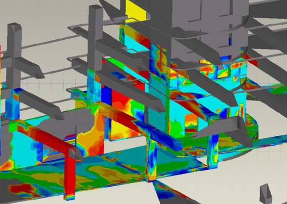
Dr. Burcu Akinci, Associate Professor, Department of Civil and Environmental Engineering, Carnegie Mellon University, will present new work in active quality control and generation of as-built models during construction using 3D laser scanning. The status of work in place at construction sites changes as construction projects evolve over time, she notes. Most current surveying and quality control approaches provide sparse data about work in place – this can limit a project team’s ability to easily identify and manage defects early during construction, and to actively control and manage construction projects. Frequent, accurate and more complete assessment of as-built conditions at construction sites, identification of critical spatio-temporal deviations of work in place, and assessment of whether these deviations constitute defects during a construction project are all necessary for active project quality control.
Recent advances in generating 3D environments with laser scanning have created opportunity to explore the technological feasibility of frequently gathering accurate and more complete 3D as-built data during construction. Akinci will present findings from an interdisciplinary research project underway at Carnegie Mellon for more than five years, with participants from Civil and Environmental Engineering, Robotic Institute and Architecture. It specifically focuses on assessment of accuracy of data collected by laser scanners, and approaches developed for scan planning, object recognition, and comparing as-designed and as-built models. These approaches have been tested in four construction case study projects – Akinci will present project highlights and key lessons learned.
Matt Craig, As-Built Specialist, Jacobs Engineering Group, Inc., will review dimensional control technologies – benefits, expectations and risks during the fabrication and construction phase of projects. Traditionally, Craig notes, dimensional verification and dimensional layout used trusted, proven methods to acquire measurement information. Most people still use these methods today, but with inconsistent results. The current revolution in dimensional control technologies opens new opportunity to improve quality, efficiency and consistency. Craig’s presentation will help practitioners understand the real benefits and expectations in using these new dimensional control technologies during the fabrication and construction phase of a project, and will explore potential risks in not implementing these technologies.
New research applying real-time 3D range imaging and ultra-wideband (UWB) technologies to track and monitor construction resources (workforce, material and equipment) in 3D and in real time will be presented by Dr. Jochen Teizer, Assistant Professor, Civil and Environmental Engineering, Georgia Institute of Technology. Dr. Teizer, who directs the RAPIDS (Real-time Automated Project Information Decision Systems) laboratory at Georgia Tech, will explain the lab’s research progress in real-time (15Hz or higher) 3D modeling using a single 3D range imaging camera. Potential applications areas are rapid 3D as-built modeling, safety and security, detection and tracking applications. His presentation will also detail the use of sensor fusion to integrate wireless 3D locating technologies (RF) into real-time 3D CAD modeling.


