Something that is often hard to escape when covering this industry, particularly around the use of lidar and other geospatial technology, is that so much of the work is relatively unknown by the general public, but the impact is profound. Whether it be assisting in crucial research around the effects of climate change, or its ability to give us crucial wide-ranging views from space to help with a bevy of use cases, the technology is among the most important in today’s world. And every week, we see stories both that we cover and that our friends around the space cover that highlight these uses and their importance.
That’s what we’re looking at today with stories from our friends around the industry. In today’s roundup of industry highlights, we start by looking at how lidar is being used to support research in Antarctica, a crucial region on Earth for our understanding of climate change and its global effects. We also look at another important geospatial technology – this time collecting data from satellites – and how that is used in maintaining and monitoring critical infrastructure around the world. Finally, we look more insular at the industry itself and how important it is to attract diverse voices and viewpoints into the geospatial industry.

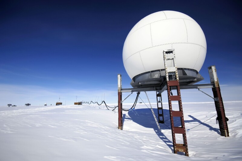
Unlocking Antarctica's Secrets With The Power Of LiDAR
John Oncea, Photonics Online
In this article, Oncea takes a deep dive into crucial work being done in Antarctica to better understand our changing planet. Thanks to the use of lidar, we now have a much more complete understanding of the world’s largest desert, with the technology helping to reveal things like underground lakes, ancient fossils and rainforests, and even mountains. Oncea looks at research papers and speaks with some researchers who have been at the forefront of this work, detailing what kind of discoveries have been made with the help of lidar and why all of this research in this particular region is so important.
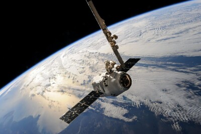
The Role of Satellite Technology in Protecting Critical Infrastructure
Reigo Pold, Geospatial World
Over the past few years the space industry has exploded, with launches becoming more feasible and thus more satellites of all kinds entering Earth’s orbit. Today, most satellites are still for communication and connectivity purposes, but those for monitoring the planet through imagery and other means are also being launched at breakneck speeds. This, in turn, is giving us so much more crucial information about our planet, and getting us the information more often to enable better research and understanding. In this article, Pold looks at the ways this data is being used to monitor and protect our world’s critical infrastructure.
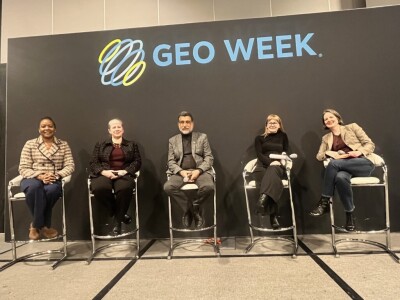
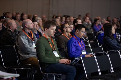
DEI Key to Improve Quality and Relevance of Geospatial Solutions
WGIC Secretariat, WGIC
At this year’s Geo Week conference in Denver, the World Geospatial Council (WGIC) put together a panel discussion highlighting the need for integrating diversity, equity, and inclusion (DEI) into the geospatial industry. This article highlights some of the key takeaways from this conversation, including the need to start exposure to this kind of work at an early age to cultivate “a talent pool with diverse perspectives, vital for driving geospatial innovation.” The article delves into strategies to make this happen, the role of organizations in paving the way, and more.