Much has been written about the fourth industrial revolution that will redefine how people across the world live and work. Just as steam powered the first industrial revolution that began in the 1700s, data is powering the revolution that we’re currently living through. However, it’s not enough to just talk about “data” because geospatial data is what’s truly enabling disruptions to existing workflows and opening up countless opportunities.
How is geolocation data enabling ecosystems to evolve? What from location intelligence can be directly funneled into business intelligence? What does mapping in the age of autonomy really look like? These were just a few of the topics that leaders from across the geospatial industry highlighted at the 2020 GeoBuiz Summit.
It’s impossible to talk about the geospatial industry without talking about Jack Dangermond’s role in helping to define it, and the CEO of Esri was at the event to discuss that very topic. The ethos of Esri ultimately goes back to Dangermond’s desire to explore how computational geographic information could be applied to environmental issues. Eventually, governments and businesses were geographically empowered to create options and change expectations throughout their workflows. Those options and expectations continue to be redefined by new solutions that are often the result of collaborations and integrations which range from Autodesk’s integrations with Dropbox to Esri’s integrations with Salesforce. Dangermond highlighted how these very collaborations are essential to the growth of the industry.

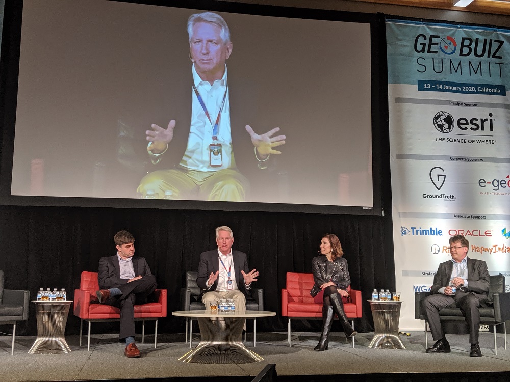
Dr. Scott Pace, Executive Secretary of the USA National Space Council (left) and Jack Dangermond of Esri (center) engage in a conversation moderated by Sanjay Kumar, CEO of Geospatial Media (right).
“I’m open for partnering because my experience is that 1+1 can equal 10,” Dangermond said. “It just works that way.”
Many of these new and integrated solutions are forming the foundation of business models for the space economy. The US Department of Commerce believes there will be countless opportunities related to selling goods and providing numerous services. From monitoring pollution and agriculture to tracking commercial shipping, to insurance to thermal mapping of cities, talk of a trillion-dollar space economy is happening right now and it’s being fueled by geospatial data.
Small satellite solutions are an essential component of that economy as they have only recently become viable options for solution providers. Satellite relay network solutions that provide reliable, high-speed data connections in space are now available. Regulations and costs had prevented the availability of these solutions not long ago, but discussions about what the rise of small satellites means for geospatial data are already taking place.
Those changes are tied to ones that are far more fundamental, as spatial data can augment real-time geo-intelligence in ways that aren’t just possible, but expected. Incredibly powerful organizations like the FCC have taken notice of this change to expectations as they recently approved rules requiring wireless carriers to deliver 911 callers’ vertical location that is accurate within three meters in most cases. The tools to locate someone’s exact position in a building just by using their phone are now readily available, and organizations like the FCC are dictating that they need to be utilized.
This is where things can get complicated though and those complications don’t have anything to do with data, but with application and privacy. While it might be helpful for emergency responders to know exactly where someone is calling 911 from in a building, will those responders also know the best route to get to that location? What other access information should be conveyed in this context? Will that specific understanding impact the information that 911 operators gather?
Those practical issues are tied to privacy concerns and limitations that come with this change in expectation around how much of this information carriers make available, and to whom. Limitations and expectations around how all of this data should be used is something that will become more and more of a talking point. Right now, it’s possible for a construction company to track an individual’s heart rate to notify safety managers if an employee is potentially suffering or in an emergency. Do employees need to actively opt-into providing that sort of information? Who controls and owns this data after it’s been provided? These are all questions about geospatial data that aren’t really about geospatial data at all.
Along those same lines, geospatial data is powering services related democratizing mobile advertising. New solutions can create, publish and track their own mobile campaign using just their smartphone. Others are looking to more easily provide 3D location solutions that will enable companies in industries that range from hospitality to mining to locate their customers and employees indoors and run their businesses more efficiently.
Ultimately, the geospatial industry is becoming less about maps and more about analytics. Maps and geographic information will always be essential, but there are more options than ever when it comes to transitioning these maps and geographic information into revenue and business intelligence. Those additional capabilities will further enhance the miniaturization of sensors and AI capabilities, which many have seen as the next step with geospatial data and for the geospatial industry. It’s simple enough to talk about data being the new oil, but the value of both is all about context, opportunity and integration.
“The hardware is there and the software is there to create efficiencies today,” said Jim Van Rens from RIEGL. “The tools are there, it’s really just a question of how we work through the challenges that are preventing users from pulling all of it together.”
What all of that actually looks like is where true innovation and disruption are taking place throughout the geospatial industry. Getting geospatial data is getting cheaper and easier, but actually using that data, or allowing the right people to access it when they need it is both expensive and difficult. That’s the reality of this fourth industrial revolution that all of the GeoBuiz Summit speakers highlighted. Unlike the previous industrial revolutions, the fourth industrial revolution will require experts to educate people as to what’s possible, and those possibilities are enabling the transformation of the geospatial industry that will see it become more and more of an element of everyday life.


