The utilities sector faces a fundamental challenge that shows no sign of easing. Energy, water, and communications infrastructure, much of it buried underground and decades old, must be managed and maintained at a time when the industry can’t always find enough qualified surveyors to do the work.
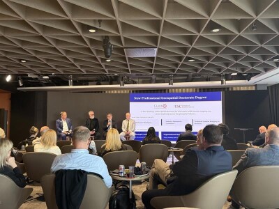
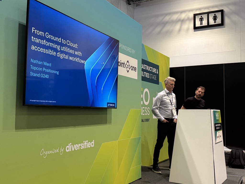
"I can't scale to have a surveyor on site of every distribution project that's happening in every state," one utility company told Nathan Ward, UK Business Development Manager at Topcon Positioning. "It's just too expensive." The question came in response to a session at Geo Business in London a few weeks ago. Ward was presenting on the various ways to transform utilities with accessible digital workflows.
Too often, site recording is left until the end of a project, only for discrepancies to emerge, causing delays to validation and sign-off for project payments. As Ward put it during his session, "Every problem is a problem of location." The challenge is getting the right information to the right people, with the right skills, in the right place at the right time.
A Strategic Partnership Built for the Field
Topcon's answer is a strategic partnership with Pix4D, combining Topcon's expertise in precise GNSS positioning with Pix4D's deep background in photogrammetry. The result is the Topcon CR-X1, a handheld scanning solution designed around a tool already in almost everyone's pocket: an iPhone.
"It's all about having a tool that is familiar to users," Ward explained. "If you're familiar with something, you're going to be able to do it quicker. It encourages non-professional surveyors and people earlier in their careers to actually engage with the technology and the workflows."
The decision to use consumer hardware is deliberate. Hand a site worker a pole or a traditional survey instrument, and the response is often "That's not my job." Hand them an iPhone, and the barrier disappears.
Use Case One: 3D Documentation
The first workflow targets one of the most persistent problems in utility construction: documenting open trenches and as-built conditions before backfill.
The CR-X1 pairs an iPhone with a GNSS positioning device offering RTK centimeter-level accuracy. Field teams walk the open trench, and photographs are automatically captured. The data is uploaded to an automated cloud processing environment, where it is transformed into precise, date-stamped digital records. Users simply hit save and upload; the cloud does the rest.
The resulting 3D model is geo-referenced and can be shared immediately with colleagues, contractors, and clients for validation and approval. Critically, the capture can be carried out by site supervisors, foremen, or technicians with no surveying qualification required.
"The surveyors on the project can actually focus on other activities," Ward said. "Perhaps engagement with the client, managing the data, doing QA checks. But the data capture is very much point and press."
Topcon has also integrated the CR-X1 workflow directly with Esri ArcGIS Scene Viewer, allowing teams to view geo-referenced 3D models, query depths, and run spatial analysis entirely within an environment many utilities professionals already use.
Use Case Two: Augmented Reality for Site Returns
The second workflow addresses a different challenge: what happens when a team returns to a site months or years after construction is complete?
Using the CR-X1's augmented reality capability, operations teams can overlay the original 3D construction model directly onto the ground through the iPhone camera. Buried asset locations, trench geometry, surface conditions, and even temporary barriers from the original build become visible in context.
"Every detail is visible," Ward said. "Teams can respond faster, avoid unnecessary digging, and improve safety."
The use case extends to validating as-built conditions against design intent. Site personnel can compare design models with constructed assets in real time, identifying conflicts or deviations the moment they appear rather than discovering them during a desktop review weeks later.
Early Feedback and Market Impact
The partnership was announced at the Bauma trade fair earlier this year, making it a relatively new offering. Ward says early feedback from the market has been "really positive.”
"It's almost like a door opener for certain conversations," he said. "It might not end up being the solution that is needed, but it starts that conversation. People are thinking, 'Well, actually, I've used reality capture products before. I can start doing that.'"
Beyond conversation, the tool is already delivering measurable value in utility asset documentation, an area that has historically been underserved. "Suddenly organizations are going, 'We can start documenting. That has been a real problem,'" Ward noted.
Speed to Market as a Competitive Imperative
The pace of the Topcon-Pix4D partnership reflects a broader shift in how Topcon approaches innovation under CEO Ivanka Morimoto. The days of five-year technology incubation cycles are over.
"You've got to see the opportunity and bring it to market pretty quickly to be successful," Ward said. "By the time it comes to market after years of development, it's already on version two somewhere else."
For the utilities sector, the proposition is straightforward: contractors get faster sign-off and quicker payment. Asset owners get confidence, compliance, and long-term operational value. Lastly, the entire industry gains a scalable, accessible way to build the digital records that modern infrastructure management demands.