Hexagon showcased two cutting-edge mapping systems at Geo Week 2026, each designed to revolutionize different aspects of geospatial data collection.
The Leica CoastalMapper: Transforming Coastal and River Mapping
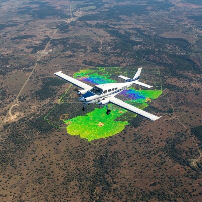
The CoastalMapper represents a significant leap forward in bathymetric lidar technology, collecting approximately 2.5 times more data than previous-generation sensors. The airborne system combines a green-light laser scanner that penetrates water (capturing up to 1 million measurements per second) with a topographic lidar scanner optimized for land measurement (2 million points per second).
"About 40% of the world's population lives in the coastal zone, so it's a very high-value area," explained Anders Ekelund, Vice President of Airborne Bathymetric Lidar at Hexagon Geosystems. The system addresses critical applications, including coastal mapping, flood modeling, infrastructure planning, and environmental monitoring.
The efficiency gains are dramatic. According to Ekelund, Canadian customers estimated that mapping the country's East Coast would take 80 years with traditional boat surveys. The CoastalMapper makes such projects feasible, providing 50-60% cost savings on total project costs compared to boat-only measurements by covering approximately 80 times the area. A Florida coastline mapping project that required six previous-generation sensors running simultaneously could be completed with just two or three of the new CoastalMappers.
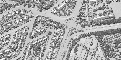
The Leica CityMapper-3: The Swiss Army Knife of Aerial Mapping
Hexagon's third-generation CityMapper brings new versatility to urban mapping projects. The hybrid system combines lidar with continuous swath imagery, featuring traditional oblique sensors that capture nadir (straight down), forward, back, left, and right perspectives.
"We sometimes call it the Swiss Army knife of the aerial mapping industry because you can do pretty much everything with it," said Layton Hobbs, product line director for airborne solutions at Leica Geosystems. The system offers 30% greater efficiency than previous generations, a crucial advantage when weather windows are narrow.
The CityMapper-3's standout feature is its triple-camera nadir configuration, providing three times the swath coverage of earlier single-camera systems. This design also supports emerging Gaussian splatting technology, earning the system the playful nickname "City Splatter" in that particular mode.
Both systems reflect Hexagon's focus on addressing the aerial mapping industry's top priority: getting aircraft in and out of projects as quickly as possible to maximize weather windows and reduce operational costs.