
The CyArk 500 Challenge may be the best-known example of how laser scanning monuments can help with their conservation, but the US foundation is by no means the only game in town. Universities and other institutions across Europe are increasingly working with terrestrial, mobile and airborne lidar as part of smaller programmes to digitally preserve the continent’s rich heritage.
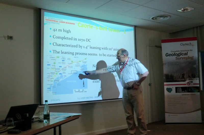
Giordano Teza and his colleagues at the University of Padua, Department of Geosciences, in Italy have recently completed one such project, which involved scanning the country’s other leaning tower. Completed in 1070 AD, the 42 m high bell tower of the Cathedral of St. Stephen in Caorle, close to Venice, is the oldest surviving example of a cylinder-shaped bell tower with a conic cusp in the world. With a base of Istria stone, the tower, whose shaft is made of brick-faced rubble core masonry, for unknown reasons began leaning sometime after 1920 – today it is leaning by 1.4 degrees and has a 111 degree azimuth.
The University of Padua scientists were called in to undertake a geometric and modal characterisation of the tower for cultural heritage purposes. The resulting ‘health check’ of this leaning tower combines geometric data provided by terrestrial laser scanning with experimental modal analysis, ultrasonic measurements using a digital tromometer and infrared thermography data – all integrated and interpreted by means of numerical modelling.
The terrestrial lidar part of the survey involved scanning from 18 different viewpoints – five long-distance (85-155 m), two middle-distance (80 m), four at close range (25-45 m) and seven at very close range (4-12 m), all with a sampling step of 11-18 mm. Data registration was by means of a surf-to-surf ICP algorithm implemented in Innovmetric PolyWorks.
The end result was a georeferenced point cloud and digital 3D model, from which the geoscientists extracted, by means of MATLAB scripts, significant information about the tower’s leaning angle and direction, wall tapering/inclination and radius, surface shape (including the existence of bulges or concavities and/or damage to the masonry), and the correlation between surface deformation and damage and maximum leaning direction.
I’m not going to pretend I understood the maths involved in the laser scanning data analysis presented by Dr. Teza when he spoke at the Optech event in Nice, but I did understand that using a static scanner enabled his team to evaluate the Caorle bell tower’s leaning angle at different elevations and find a correlation between leaning direction and surface deformations. All highly useful information when it comes to helping this historic building survive for many centuries to come.
And of course, there are bound to be lessons that can be applied in other cultural heritage sites (say Pisa, for example).


