
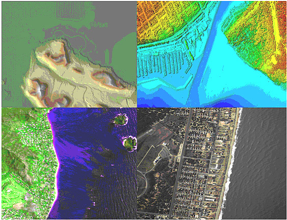
GIS has ‘blurred previous qualitative distinctions’ between satellite, airborne, and UAV platforms, says study
The global market for remote sensing technologies – from lidar and digital imagery to thermal and hyperspectral – should reach $12.1 billion by 2019.
That’s according to a new study by BCC Research LLC, based in Wellesley, Mass., which pointed out that advances in geographic information systems (GIS) technology has “blurred previous qualitative distinctions” between very expensive satellite platforms, moderately expensive airborne platforms, and low-cost UAS (unmanned aerial systems) platforms.
The global market for remote sensing products is expected to reach $7.6 billion this year and grow to $8.1 billion in 2014, according to the study, which forecasts 20 end-user markets in 39 countries.
The study expands on three previous BCC remote sensing industry studies, the most recent was published two years ago. Since then, the firm said, several significant events have influenced the demand for information products and services from remote-sensed data.
For instance, GIS software has accelerated the low-cost integration of historic, recent and real-time data, which has cut costs for manufacturing remote sensing products. For example, first-generation, black-and-white TV images of U.S. cloud cover from 1970s-era weather satellites “have proved unexpectedly useful” in recent climate change studies, BCC said.
Plus, a big amount of new public data describing national infrastructures, environmental resources and other leading indicators of demand for remote sensing products has become available, making it possible to refine forecasts from the regional to country level for markets greater than $40 million.
For instance, many of the key satellite platforms used to acquire remote sensing data have been retired. While some have been replaced obvious implications for the availability for current data.
The remote sensing end-user markets forecast in the study include:
• Agriculture
• Archeological and cultural site protection
• Atmospheric research
• Border protection
• Cartography
• Climate change studies
• Disaster management
• Forestry
• Hydrology and freshwater resources
• Intelligence gathering
• Landmine detection
• Land planning
• Law enforcement
• Natural hazard monitoring
• Oceanography
• Oil, gas and mineral exploration
• Public health
• Right-of-way management
• Urban and suburban planning
• Weather forecasting
For more information on the report, click here.


