
Report: Terrestrial, mobile lidar systems disrupting airborne lidar market
The global lidar market is forecast to grow more than 15 percent annually over the next five years, reaching a value of $551.3 million in 2018.
That’s according to a new report from Dallas-based consulting firm MarketsandMarkets, which describes a typical lidar system as largely consisting of three components: a laser-based remote sensor, a Global Positioning System (GPS) unit, and an inertial navigation unit.
The 278-page “LiDAR Market” report discusses four lidar product types: airborne, mobile, terrestrial, and short range; and six, main lidar applications: government, civil engineering, military/defence/aerospace, corridor mapping, topographic surveys, and volumetric mapping.
Lidar (Light Detection and Ranging) has traditionally been used for aerial mapping in forestry and topography applications to produce 3D digital elevation and terrain models.
But, since 2006, and particularly in the past two years, the adoption of lidar has been soaring. That has resulted in the rapid evolution of the technology and consequent falling prices for lidar systems and system components.
The global lidar market was worth $218.9 million in 2012, with civil engineering being the dominant application and airborne lidar systems contributing the most value, mainly due to their higher selling price, the report said.
Calling the airborne lidar market “mature and reliable,” and “preferred by users for whom the budget is not a constraint,” the report also said airborne lidar systems have the lowest compound annual growth rate among the four types of lidar systems.
The report said technological innovations are boosting the cost-benefit ratio of terrestrial and mobile lidar systems, which is expected to surpass that of airborne lidar systems.
“It can be said that the terrestrial and mobile [lidar]systems are disrupting the airborne lidar market to some extent,” the report said.
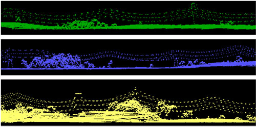
In fact, corridor mapping, which increasingly uses mobile terrestrial lidar systems as well as the more traditional airborne lidar, is predicted to be the application with the highest annual growth rate from 2013 to 2018, according to the report.
“The introduction of handheld, low-cost lidar systems is expected to revolutionize the surveying industry in the coming five years,” the report said.
Major 3D imaging and measurement firms covered in the report include:
- RIEGL Laser Measurement Systems GmbH (Austria)
- Airborne imaging, Inc. (U.S.)
- Leica Geosystems (U.S.)
- Optech Incorporated (Canada)
- Trimble Navigation (U.S.)
- Renishaw Plc (U.K.)
- Pix4D
- Velodyne
- Faro Technologies
- 3D Laser Mapping
- Aerometric
- Airborne Hydrography Ab
- Avent Lidar Technology
- Digitalworld Mapping


