John Kedar has a long career as a geospatial advisor through his military experience, and his recent work advising governments around the world in their uses of geospatial data. Geo Week connected with John last week to discuss the role of geospatial information in managing the current global crisis, but also what can be learned and leveraged going forward.
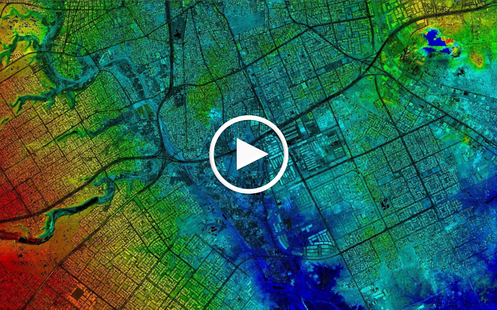
“Maps and pictures have always helped information get across – they’ve helped people understand what the risks are in a particular area where they live, for example. Geospatial mapping of any descriptions helps, and there are a lot of applications out there providing that – but they are just a picture of the current.” -John Kedar


