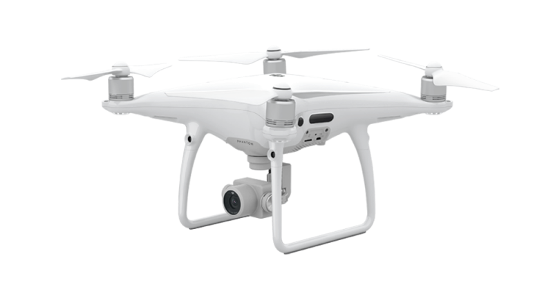
Though drones are best known as an affordable alternative to other hardware you don’t want to pay for, the ones that offer survey-grade mapping often cost more than you’d expect. GeoCue is set to change that with a GNSS positioning system for DJI Phantom 4 Pro and Inspire drones that promises survey-grade accuracy, at a lower cost, and with a “minimum of ground control.”
The Loki kit is self-contained and fully integrated, meaning it includes everything you need to equip your drone with a global positioning system. OK, not everything: Loki requires you to bring your own base station, but that’s all it takes to achieve centimeter-level positioning from your affordable drone with “minimal, and in some cases, no ground control points.”
Loki costs $4,995 and includes Septentrio’s new AsteRx-m2 multi-frequency, multi-constellation GNSS engine, which offers a whopping 448 hardware channels for locking into satellites for positioning. It also boasts GeoCue’s proprietary system for detecting “camera events” from Phantom/Inspire drones and synchronizing them to GNSS positions.
DroneDeploy, which worked with GeoCue to ensure a clean positioning workflow for their own drone operations, had this to say about Loki:
The Loki’s combination of high-end GNSS positioning and DJI camera synchronization enables survey-grade accuracy with the simplest workflow that we’ve seen.
For more technical details, see GeoCue’s blog post here. Loki is shipping to early adopter customers this month, with general availability beginning in September, 2017. The company is currently taking orders.
You can also find out more by checking out GeoCue’s webinar at our sister site, Commercial UAV Expo News, on August 8, 2017.


