
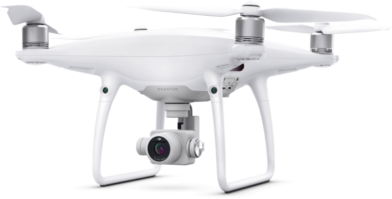
The GeoCue Group, a popular provider of software, hardware, and training for lidar, recently announced that it has fully integrated the DJI Phantom 4 Pro RTK into its popular AirGon Sensor Processing Suite.
This means that users can now deploy third-party GNSS base stations, via the ASPSuite software, and use them in a PPK workflow for high accuracy mapping. That includes systems from Septentrio, Trimble, Tersus, TopCon, CHC, and others.
GeoCue notes that part of the reason for this integration is that professional surveyors often own a survey kit that they need incorporated into their workflow, making purchase of the DJI D-RTK-2 base station, an optional add-on for the Phantom Pro 4 RTK, undesirable. For those that do purchase the D-RTK-2 base station, it can currently only be used in RTK mode, and only “if it is being sited on a known location” and doesn’t allow stationing via online positioning services such as OPUS, AUSPOS, Canadian Geodetic Survey, and so on.
In addition, GeoCue is now offering camera calibration services for the Phantom Pro 4 to enable “minimal or control-free” high accuracy mapping projects. A recent test showed that, with calibration, a Phantom 4 Pro RTK was able to achieve 4 cm horizontal and 5 cm vertical accuracy without ground control.
For more information about these options, or one of GeoCue’s DJI drone packages for surveyors, check their website here.


