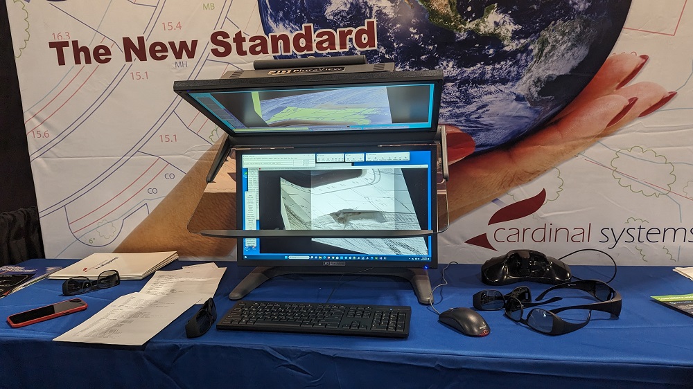
We’ve detailed the work Cardinal Systems has done to accurately and consistently compile stereo information from inexpensive UAS systems, but the variety of modules that the company has developed for use by professions in the geospatial community is the result of decades of experience. That experience was on display at Geo Week, where attendees could see and interact with their VrThree solution.
VrThree (or VrLiDAR) integrates point cloud data into established Cardinal Systems mapping software packages, enabling photogrammetry firms to utilize existing personnel and software while also offering new and powerful tools for other mapping disciplines. VrLiDAR offers several options using photography and/or lidar point data, providing users with multiple options.
Those options speak to an important development in the industry itself, as they illustrate how the “photogrammetry vs. lidar” debate has fully evolved into a conversation about “photogrammetry and lidar.” That shift is further indicative of how the technology is now perceived of as complimentary in a way that puts to rest the narrative about photogrammetry becoming an antiquated technology.
“In some ways photogrammetry has actually gotten stronger,” said Mike Kitaif, Owner, Manager of Software Development at Cardinal Systems. “Years ago, there was a lot of talk about how lidar was going to replace photogrammetry, to the point that companies were setting up entire divisions around lidar applications. All of that has gone away, because everyone sees the inherent connection between the two and that you can do more with both.”
Kitaif mentioned how that evolution is a result of seeing this data in true three-dimensional stereo. Those differences were evident to Geo Week attendees, but they’ve also made a major difference to users when it comes to making decisions that impact the bottom line but also go beyond.
“The ‘wow’ factor is very real and something we’ve heard over and over at this event,” Kitaif told Geo Week News. “We’ve heard people say they’ve never seen lidar like this before, and that’s changed perspectives in a way that’s impacted the bottom line but has also helped save lives.”
The best example of how the technology has done the latter comes from the work Cardinal Systems has done with NASA, as engineers used the technology to view and measure a torn heat blanket under a crew cabin window. This analysis helped NASA make the decision not to make a final space walk to repair the area.
To see more example of the value that Cardinal Systems has created, visit their website.