
Advanced mapping systems are becoming more integral to society as a whole, but the value these maps create and provide is inherently connected to how and where this information can be shared. All of this mapping information can be utilized for anything from self-driving cars to augmented reality applications, but how can all of those systems utilize this same baseline of information in different ways?
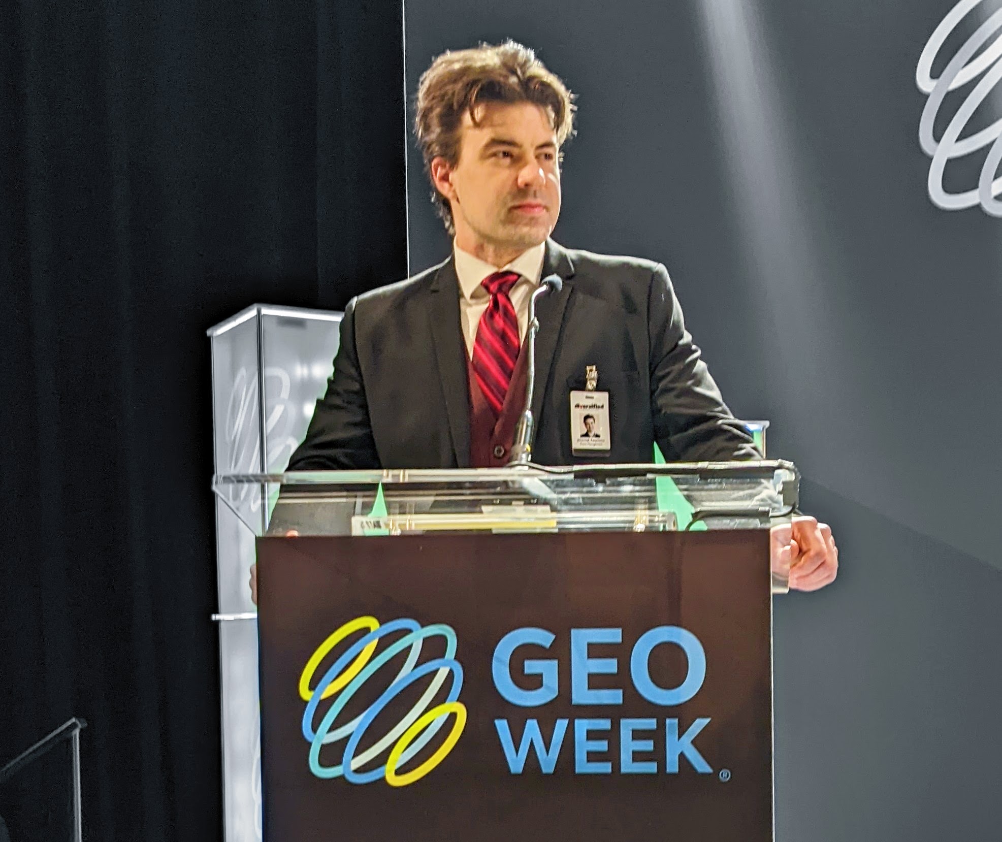
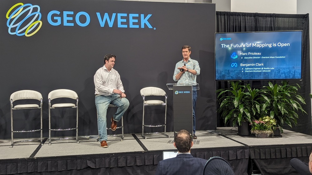
Overture Maps Foundation, founded in 2022, believes companies can collectively develop and maintain a global map dataset that can be used under permissive open data licenses to build more accurate, more featured, and more up-to-date maps. The case for collaboration between OpenStreetMap and Overture Maps has previously been outlined, but Marc Prioleau from Overture Maps Foundation took the stage at Geo Week to further define what this sort of collaboration looks like in a much bigger way.
The mission of Overture Maps Foundation is to build open map data that supports open map applications now and into the future. Aimed at people who were building mapping applications or using map data to develop various applications, the initiative was based on three key principles. One was about using the best sources of open map data. The next was that the data needed to be of high quality. And the third was about how the information needed to be in a data schema.
“If you have map data, how do you attach other information to that in an unambiguous way?” Prioleau asked the crowd. “One of our beliefs is that map data inherently represents a finite amount of data. The road outside this building is going to be the same no matter how many times it’s scanned or who does it. Where we saw growth is with what information gets attached to that foundational mapping data.”
Prioleau further explained that the company’s goal is to establish a foundational layer of data that other services and applications can be attached to, but where is the line with that foundational layer of data? People disagree on where that line is, but they agree that it only moves up.
Ben Clark from Meta was also at Geo Week to explain why companies like Meta along with AWS, TomTom, Esri and more support the organization.
“Whenever we’re at events like this, I’m always fielding questions like, ‘what is Meta doing here?'” Clark said. “The truth is we have an interest in mapping data across many of our applications and have been specifically interested in open data for awhile. That's something you can see with how we utilize open street maps and with acquisitions like Mapillary.”
News of Mapillary joining Meta's quest to improve maps everywhere and for everyone was announced in 2020, but the much more recent development that Clark touted was related to places where communities can provide insight, feedback and collective resources for the open mapping infrastructure of the future:
https://docs.overturemaps.org/
https://labs.overturemaps.org/how-to/
These sites define the three ways that Overture Maps is hoping to better work with various communities, which will ideally see them adopt Overture Maps data, contribute open data to the system and associate spatial data through Overture's Global Entity Reference System (GERS). That last part is the most important part from the view of the speakers.
“We truly believe that core base maps should be open,” Prioleau said to further explain the initiative. “But how do we develop feedback loops to make this better? We want to offer a low friction way to collaborate and we want to hear from people in a variety of domains.”
“In the short term, we’re trying to build out tutorials and how-tos,” Clark told Geo Week News. “In the medium term, our goal is to provide people with zero experience collecting or using this information as a way of engaging with it and with us. We’re focused on documentation and ingesting public feedback, so we’re very much at the start of this journey and are looking forward to working with the geospatial community and various others to reach a destination that makes sense for everyone.”
Clark mentioned that the links that contain the preview of the Overture Data Schema as well as Overture Maps how-to guides and tutorials will soon be built up and contain much more information, further highlighting how the journey to provide comprehensive mapping data in a way that makes sense for everyone is just beginning.


