
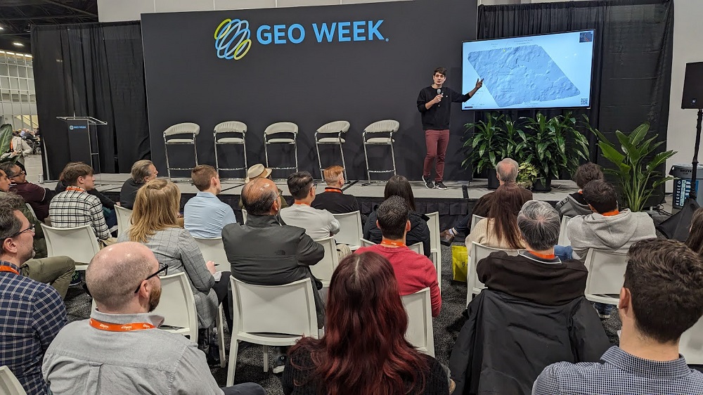
Secrets of the Mayan civilization have been hidden under the jungles of Guatemala for centuries, but a recent project by the team at DJI has begun to unveil these mysteries. Using DJI L2 LiDAR technology, the team showcased the project on a recent webinar but highlighted some takeaways at Geo Week.
Kyle Miller from DJI detailed the work the DJI did with their customer Del, which partly included surveying the world’s largest pyramid by mass. They were mapping large areas and were getting a little over 20sq km in a day. Their total goal was 300 sq km across the El Mirador basin.
The area had been surveyed by a manned aircraft, but the information captured was incomplete. The DJI/Del team ended up encountering similar challenges, although they were addressed in very different ways.
“One of the challenges we ran into with data capture was connected to how remote of an environment we were working in,” Miller said.
“We ended up having to take the bay station above the canopy to get the signal we needed to align the data.”
Miller showed results after going out into the jungle and showcased the difference between the L1 and L2. With the information they captured, the team has been able to outline where additional work needs to be conducted, says Miller.
“Now we know where to hyper-focus and potentially see structures that we wouldn’t have been able to see from data captured at a much lower density. Now they know where they need to get boots on the ground and start to scan to truly discover what's there.”
Watch the full webinar below to learn more about this ambitious and challenging project.


