

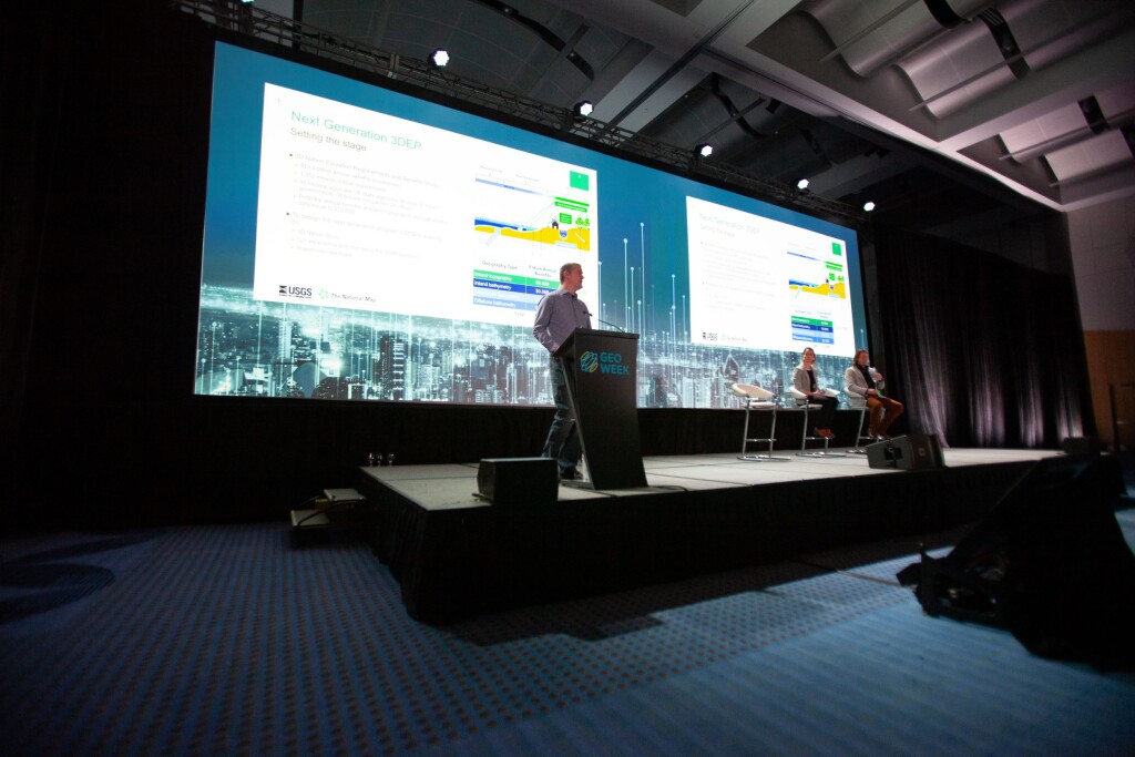
To start off the final day of Geo Week 2024, attendees were given the opportunity to hear from three presenters coming from the United States Geological Survey (USGS), providing updates on their elevation programs and what we can expect to see from them in the future. The three presenters for the plenary session, aptly titled Updates from the USGS, were as follows:
Brian Hadley, Elevation Data Acquisition Lead
Cindy Thatcher, Geographer
Dr. Jason Stoker, Physical Scientist
The USGS’ work with the 3D Elevation Program (3DEP) is extremely important work for a large portion of the attendees at Geo Week, and they were able to hear the latest updates for the program with each presenter coming at things from slightly different angles and perspectives.
Starting off the session was Hadley, who mainly spoke to the topography side of the Next Generation 3DEP. He began his talk by speaking about the 3D National Topography Model (3DNTM), a new initiative that updates and integrates USGS elevation and hydrography data to model the Nation in 3D.
After quickly touching on that, he moved on to some of the work USGS has done reaching out to users of 3DEP data about what is most important to them. The results were striking, with nearly three-quarters of responders indicating that their biggest priority was the frequency of updates. After that, 57 percent of responders said vertical accuracy was the second most important aspect, while 62 percent said geographic coverage would be third in order of importance on that list.
Hadley also touched on some of the differences between QL1 and QL2 data, noting that demand for the higher quality QL1 data has been increasing, but along with that prices have dropped. He suggested that trends point towards QL2 being “almost entirely replaced by QL1 – or better – collections in the next few years.”
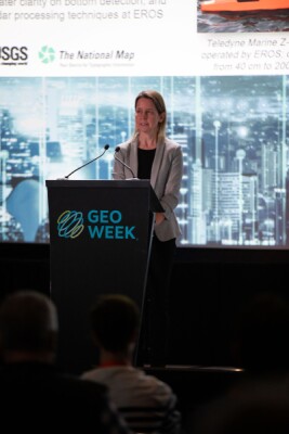
Following Hadley’s presentation, which also touched on future plans and the need for partnerships in this space, Thatcher stepped to the podium to look at one of the newer parts of 3DEP, using bathymetric methods to measure inland waterways. She noted a few times throughout her presentation that USGS is relatively new to the bathymetry and are looking to organizations like NOAA and the U.S. Army of Engineers as guides.
That said, USGS does have plans to collect data for over 60,000 square miles in FY24, with the total project value coming in just over $17 million. Thatcher shared how important these pilot programs are for the long-term health of these projects, helping to inform collection criteria, developing specifications, among other reasons.
In terms of the plans around inland bathymetry for FY24, Thatcher pointed to plans to acquire bathymetric lidar for projects in both Oregon and Pennsylvania, to continue leveraging funding for priority areas, and to continue support for EROS research on performance, accuracy, and validation methods.
Overall, the goal for USGS is to create a more systematic national approach to this kind of work. They foresee that the USGS National Geospatial Program (NGP) will serve in a complementary role to other agencies, to help acquire partnerships, integrate datasets, make other agency data available, and bring producers and users of the data towards common goals. These will be major focuses in the next five-year phase of the program.
Finally, Dr. Stoker finished up the presentations with a future-looking presentation for 3DEP. He talked about how they found that their first step had to be coming up with “the big questions.” Those questions? “How do we bridge that gap from what we've been doing, as Brian mentioned, where we’re 95% of the way there? We're focusing on the next generation – how is that going to be developed? What is it going to look like? How do we bridge the gap from where we are now and where we want to be in the future?”
He said the answer is in advancing the program and moving from just managing the data to “being really able to help provide information from that data.”
Dr. Stoker outlined many of the visions he and USGS have for the future of 3DEP and this elevation data, with one of the major ones being change detection. It would appear that this would be a big focus for the organization moving forward, though he acknowledged that budgetary constraints and other factors do limit those capabilities. Because of that, he said, they’d have to be strategic in where they’re tracking these changes based on the areas that figure to change the most.
Towards the end of his presentation, Dr. Stoker also started to talk about the some of the issues with lidar data, particularly around the idea of uncertainty. But, he said, it’s time to embrace uncertainty.
“This is something we’ve kind of overlooked, and I think we’re getting in trouble for it, especially when we talk about change detection,” he told the audience. “Once you start incorporating uncertainty and you raise the uncertainty of your measurements, it really helps you think about things like change detection, those measurements are actually within the actual change versus the uncertainty of the measurement itself.”


