
Even before the fascinating kick-off keynote panel discussion centered around digitalization in the AEC industry, attendees at Geo Week 2023 had the opportunity to see some of the newest and most exciting products hitting the market in the industry. Spread across two rooms, 21 different companies spent 15 minutes each detailing the new innovations their companies are excited to share throughout this three-day conference at the Colorado Convention Center in Denver.
These products ran the gamut in terms of what attendees can see throughout the exhibit hall at this event, ranging from laser scanning hardware to photogrammetry software to tool for the AEC industry and everything in between. We’ve been highlighting all of these products over the last three days, with a focus today on companies offering ground-breaking examples of geospatial and navigational hardware.
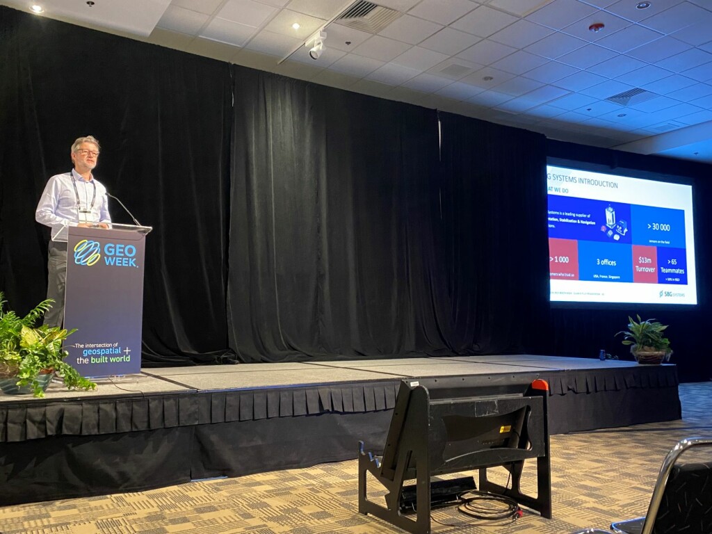
SBG Systems
A manufacturer of inertial navigation systems, SBG Systems kicked off one of the product preview sessions, largely introducing their new Quanta Plus product. The company’s Quanta series brings direct georeferencing to both UAV and land-based surveying, with a small form factor. The addition of the Plus model to the product line brings orientation stabilization and navigation, and its size has been optimized for direct georeferencing. The unit performs strongly in harsh GNSS environments, and the presentation noted that it works with other GNSS and IMU devices while specializing in mapping applications for surveying and mobile mapping.
Advanced Navigation
Advanced Navigation discussed their own navigation systems, which are some of the most impressive on the market. With their expertise in both inertial and GNSS navigation as well as acoustic positioning and robotics, all of which comes together for their new Hydrus product. The underwater UAV product comes equipped with inertial navigation systems along with WiFi for mission planning, coming together to allow for autonomous underwater surveying, including object classification powered by the company’s artificial intelligence. Along with the Hydrus, Advanced Navigation also introduced their first-of-its-kind digital FOG, which outperforms traditional FOG products while coming in at a lower price point.
Trimble
With so much to discuss, Trimble actually made two presentations, with one in each room. In one, they concentrated on their mobile mapping systems, and specifically their MX9. This is an ideal solution for large-scale projects, and for road mapping in particular it boasts expanded pavement coverage compared to previous models. This presentation also touched on the continued development of the Trimble Business Center, bringing all of Trimble’s software solutions into one platform, now with new machine learning capabilities.
Along with this presentation, the company also presented on their X12 laser scanner. With this new device, Trimble customers still get the high-end scanning data to which they are accustomed, but in a much simpler fashion. The full X12 system includes not just the scanner itself, but also a tablet, tripod, carrying case, along with a software suite to provide the full end-to-end workflow. This is the kind of system which can be utilized successfully by professionals of every experience level, with high-powered capabilities and intuitive interfaces and UI.
RIEGL
Similarly to Trimble, RIEGL also had so much to share with attendees that they made two presentations as well. We covered their aerial offerings earlier in the week, but they also covered their terrestrial offerings. Specifically, they introduced their new VZ-600i, their latest generation of terrestrial laser scanner. The presentation explained that this was the result of lots of feedback from those in the field, with one of the biggest complaints many professionals have being the weight of high-powered systems. RIEGL managed to maintain the high levels of performance their customers have come to expect while also significantly dropping its weight. Moving to a cuboid model rather than their former sphere models, the VZ-600i now comes in at just 13 points.
PIX4D
One of the big themes in reality capture in recent years is the increase in accessibility, and PIX4D put this on full display with their presentation. The company discussed their full scanning workflow, which includes the processing software, but put a special focus on their viDoc RTK Rover. This is designed to be used right with the smartphones that most everyone has in their pockets at all times at this point. It attaches right to the back of a phone and geotags reality capture data coming from the phone in real-time, providing ultimate accuracy with accessible capture processes.
Hexagon
For Hexagon’s presentation, they focused largely on two of their newest hardware offerings. The first is their HawkEye 5, which is built for airborne bathymetric scanning. This is an exciting offering for those surveying products covering coastlines, as the system is built with two sensor heads and can simultaneously capture land/water borders. The key here is the stabilized sensor heads, which provide cleaner and more accurate data and ultimately cuts down potential re-flight costs. The company also discussed their new Leica DMC-4, which adds efficiency of 30k+ cross-track pixels while supporting frame-format product generation. The airborne imagery sensor provides precise imaging, high productivity, and the flexibility to cover whatever a specific project may call for.


